Transport Functions
Rail
Road
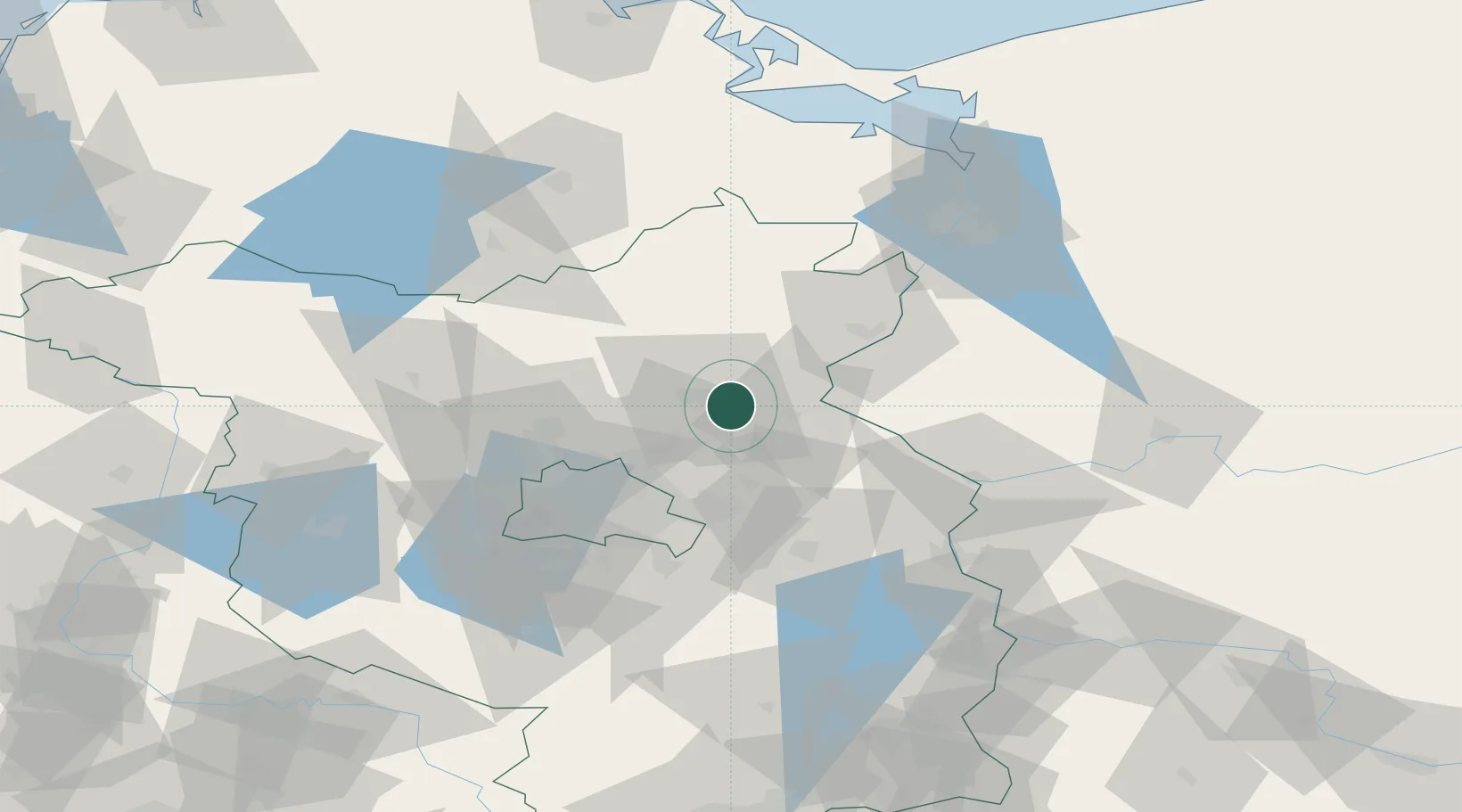
Hub Profile
Place type
District seat
Region
Brandenburg
Population
41,980
Time zone
Europe/Berlin
Elevation
14 m
Location
Nearby Logistics Neighbours
Cities
- 1Lichterfelde7 km
- 2Bralitz11 km
- 3Bad Freienwalde15 km
- 4Biesenthal15 km
- 5Gross Ziethen16 km
Ports
- 1Szczecin81 km
- 2Police95 km
- 3Swinoujscie124 km
- 4Wolgast135 km
- 5Stralsund172 km
Airports
Trade Zones
- 1Kostrzyń-Słubice SEZ60 km
- 2Szczecin Duty Free Zone82 km
- 3Swinoujscie Duty Free Zone122 km
- 4Legnica SEZ (Legnicka SSE)225 km
- 5Most - Joseph Industrial Zone262 km
DatabookThe Record of Consolidated Knowledge
Germany beyond logistics?