Transport Functions
Port
Rail
Road
Hub Profile
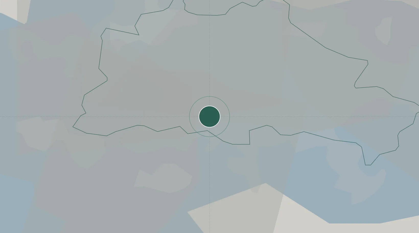
Place type
Urban district
Region
State of Berlin
Population
43,558
Time zone
Europe/Berlin
Elevation
43 m
Location
Nearby Logistics Neighbours
Cities
- 1Mariendorf2 km
- 2Berlin3 km
- 3Steglitz3 km
- 4Berlin-Tempelhof Apt4 km
- 5Britz6 km
Ports
- 1Szczecin136 km
- 2Police150 km
- 3Swinoujscie176 km
- 4Wolgast182 km
- 5Rostock202 km
Airports
- 1Berlin Brandenburg Airport13 km
- 2Holzdorf Air Base75 km
- 3Zerbst Airfield95 km
- 4Neubrandenburg Trollenhagen Airport130 km
- 5Leipzig/Halle Airport136 km
Trade Zones
- 1Kostrzyń-Słubice SEZ89 km
- 2Szczecin Duty Free Zone137 km
- 3Swinoujscie Duty Free Zone174 km
- 4Most - Joseph Industrial Zone218 km
- 5Legnica SEZ (Legnicka SSE)219 km
DatabookThe Record of Consolidated Knowledge
Germany beyond logistics?