Transport Functions
Rail
Road
Hub Profile
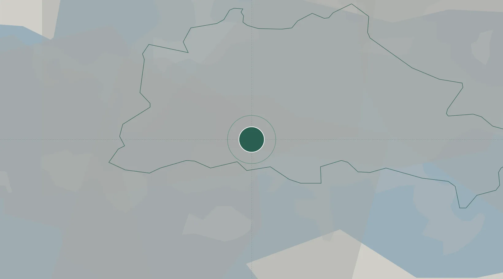
Region
BE
Location
Nearby Logistics Neighbours
Cities
- 1Berlin0 km
- 2Lankwitz3 km
- 3Berlin-Tempelhof Apt5 km
- 4Mariendorf5 km
- 5Zehlendorf5 km
Ports
- 1Szczecin136 km
- 2Police150 km
- 3Swinoujscie175 km
- 4Wolgast181 km
- 5Rostock200 km
Airports
- 1Berlin Brandenburg Airport16 km
- 2Holzdorf Air Base77 km
- 3Zerbst Airfield94 km
- 4Neubrandenburg Trollenhagen Airport128 km
- 5Leipzig/Halle Airport137 km
Trade Zones
- 1Kostrzyń-Słubice SEZ91 km
- 2Szczecin Duty Free Zone137 km
- 3Swinoujscie Duty Free Zone173 km
- 4Most - Joseph Industrial Zone220 km
- 5Legnica SEZ (Legnicka SSE)222 km
DatabookThe Record of Consolidated Knowledge
Germany beyond logistics?