Transport Functions
Multimodal
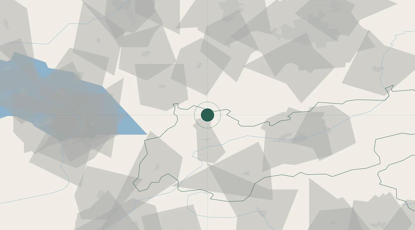
Hub Profile
Place type
District seat
Region
Tyrol
Population
2,108
Time zone
Europe/Vienna
Elevation
846 m
Location
Nearby Logistics Neighbours
Cities
- 1Hohenschwangau8 km
- 2Rieden am Forggensee11 km
- 3Hopfen Am See13 km
- 4Pfronten16 km
- 5Rosshaupten19 km
Ports
- 1Porto Di Lido-Venezia265 km
- 2Nogaro269 km
- 3Porto Di Chioggia279 km
- 4Grado281 km
- 5Monfalcone288 km
Airports
- 1Innsbruck Airport55 km
- 2Memmingen Allgau Airport66 km
- 3Lechfeld Air Base79 km
- 4Oberpfaffenhofen Airport80 km
- 5Sankt Gallen Altenrhein Airport86 km
Trade Zones
- 1Livigno Free Trade Zone115 km
- 2Freeport of Deggendorf223 km
- 3Magazzini Generali Con Chiasso226 km
- 4ZFU Neuhof248 km
- 5Consorzio Zona Industriale e Porto Fluviale di Padova251 km
DatabookThe Record of Consolidated Knowledge
Austria beyond logistics?