Transport Functions
Multimodal
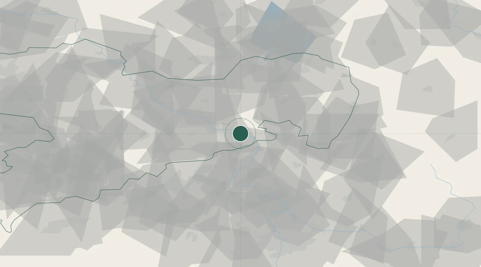
Hub Profile
Place type
Populated place
Region
Saxony
Time zone
Europe/Berlin
Elevation
147 m
Location
Nearby Logistics Neighbours
Cities
- 1Porschendorf12 km
- 2Copitz12 km
- 3Neustadt12 km
- 4Dürrröhrsdorf-Dittersbach13 km
- 5Hohwald13 km
Ports
- 1Szczecin278 km
- 2Police295 km
- 3Swinoujscie332 km
- 4Wolgast347 km
- 5Wismar375 km
Airports
- 1Dresden Airport32 km
- 2Rothenburg/Görlitz Airfield76 km
- 3Vodochody Airport82 km
- 4Václav Havel Airport Prague93 km
- 5Prague–Kbely Air Base96 km
Trade Zones
DatabookThe Record of Consolidated Knowledge
Germany beyond logistics?