Transport Functions
Rail
Road
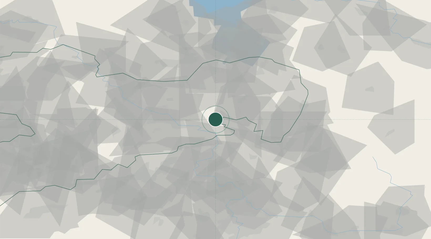
Hub Profile
Place type
Populated place
Region
Saxony
Time zone
Europe/Berlin
Elevation
132 m
Location
Nearby Logistics Neighbours
Ports
- 1Szczecin268 km
- 2Police285 km
- 3Swinoujscie323 km
- 4Wolgast339 km
- 5Kolobrzeg367 km
Airports
- 1Dresden Airport34 km
- 2Rothenburg/Görlitz Airfield64 km
- 3Vodochody Airport90 km
- 4Václav Havel Airport Prague102 km
- 5Prague–Kbely Air Base102 km
Trade Zones
DatabookThe Record of Consolidated Knowledge
Germany beyond logistics?