Transport Functions
Port
Rail
Road
Hub Profile
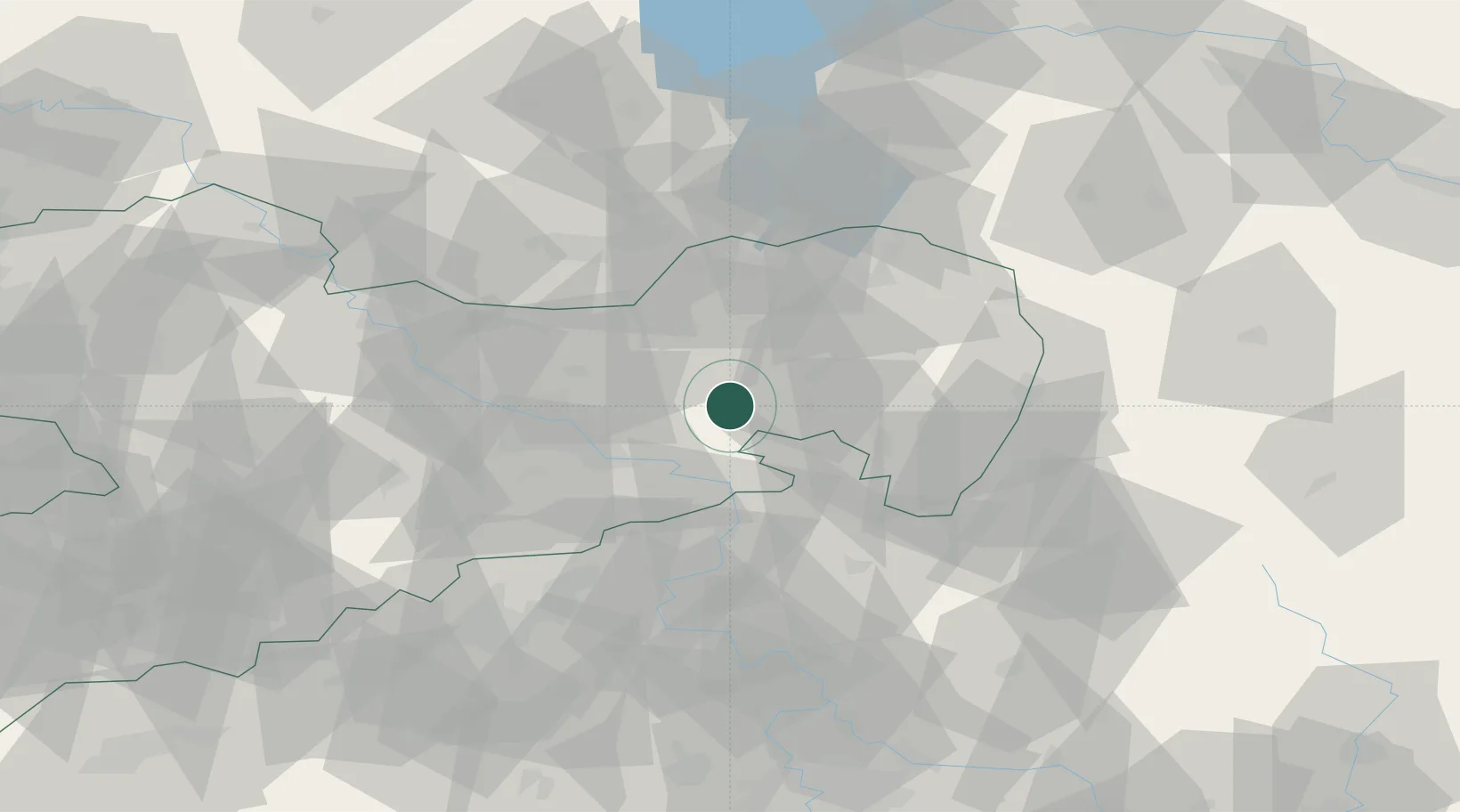
Place type
Populated place
Region
Saxony
Time zone
Europe/Berlin
Elevation
301 m
Location
Nearby Logistics Neighbours
Cities
- 1Gaussig7 km
- 2Neustadt9 km
- 3Hohwald9 km
- 4Doberschau-Gassig11 km
- 5Wilthen13 km
Ports
- 1Szczecin259 km
- 2Police275 km
- 3Swinoujscie313 km
- 4Wolgast329 km
- 5Kolobrzeg358 km
Airports
- 1Dresden Airport32 km
- 2Rothenburg/Görlitz Airfield59 km
- 3Vodochody Airport99 km
- 4Holzdorf Air Base104 km
- 5Kostomlaty Airstrip111 km
Trade Zones
DatabookThe Record of Consolidated Knowledge
Germany beyond logistics?