Transport Functions
Road
Multimodal
Hub Profile
Place type
Local administrative seat
Region
Thuringia
Population
1,906
Time zone
Europe/Berlin
Elevation
691 m
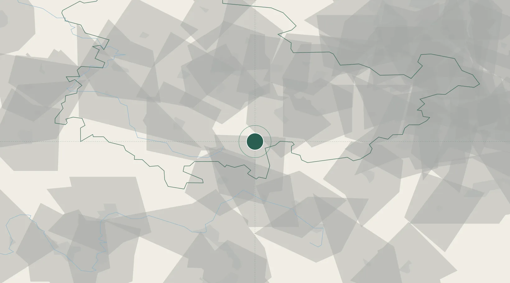
Location
Nearby Logistics Neighbours
Cities
- 1Schmiedefeld2 km
- 2Lauscha6 km
- 3Buchbach7 km
- 4Steinach9 km
- 5Mengersgereuth-Hämmern14 km
Airports
- 1Erfurt-Weimar Airport54 km
- 2Hof-Plauen Airport54 km
- 3Bayreuth Airport67 km
- 4Bamberg-Breitenau Airfield69 km
- 5Eisenach-Kindel Airport72 km
Trade Zones
DatabookThe Record of Consolidated Knowledge
Germany beyond logistics?