Transport Functions
Multimodal
Hub Profile
Place type
Populated place
Region
Thuringia
Time zone
Europe/Berlin
Elevation
466 m
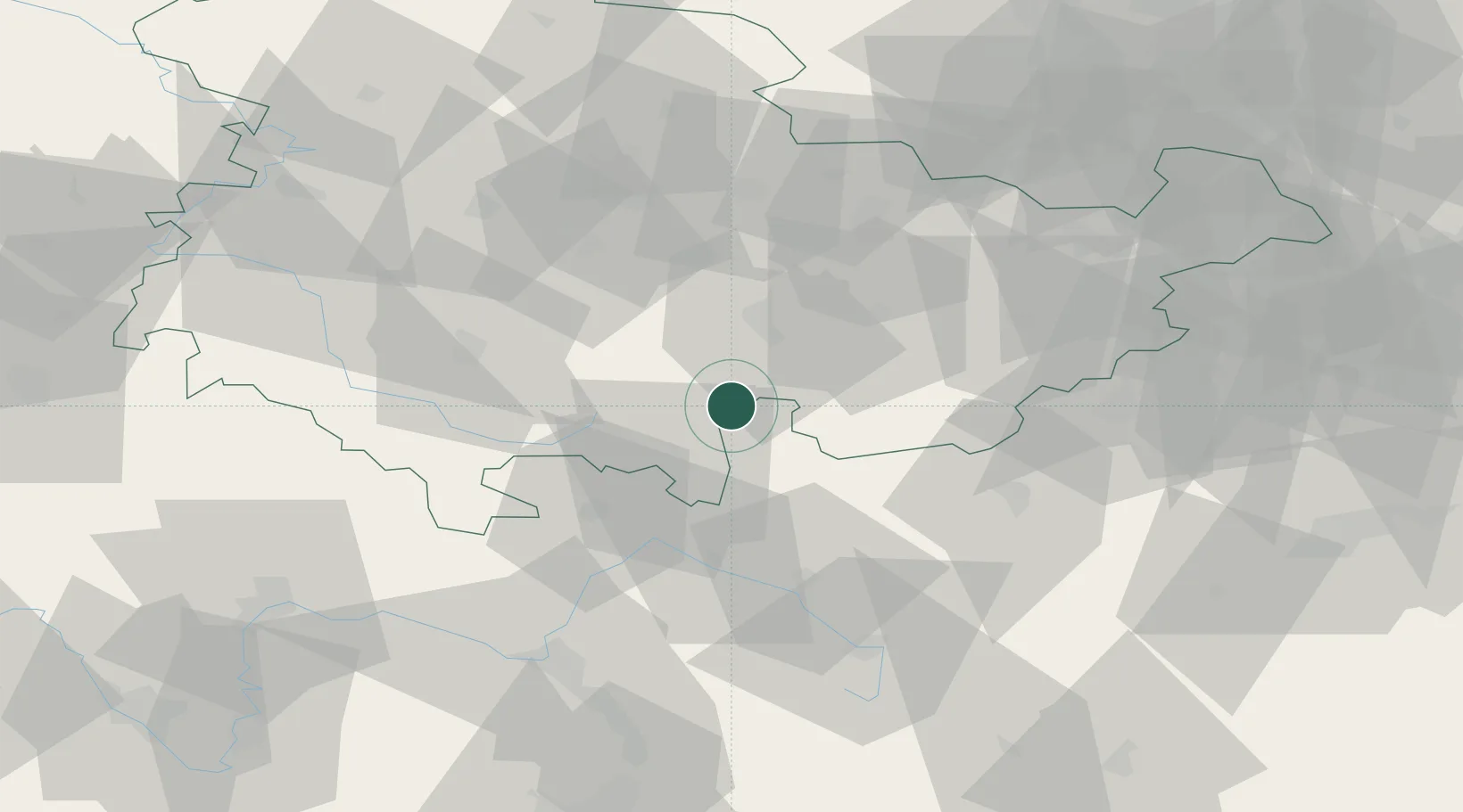
Location
Nearby Logistics Neighbours
Cities
- 1Schmiedefeld7 km
- 2Lichte7 km
- 3Probstzella8 km
- 4Steinbach am Wald10 km
- 5Lauscha10 km
Airports
- 1Hof-Plauen Airport47 km
- 2Erfurt-Weimar Airport58 km
- 3Bayreuth Airport63 km
- 4Bamberg-Breitenau Airfield70 km
- 5Eisenach-Kindel Airport79 km
Trade Zones
DatabookThe Record of Consolidated Knowledge
Germany beyond logistics?