Transport Functions
Rail
Road
Hub Profile
Place type
Populated place
Region
Saxony
Time zone
Europe/Berlin
Elevation
129 m
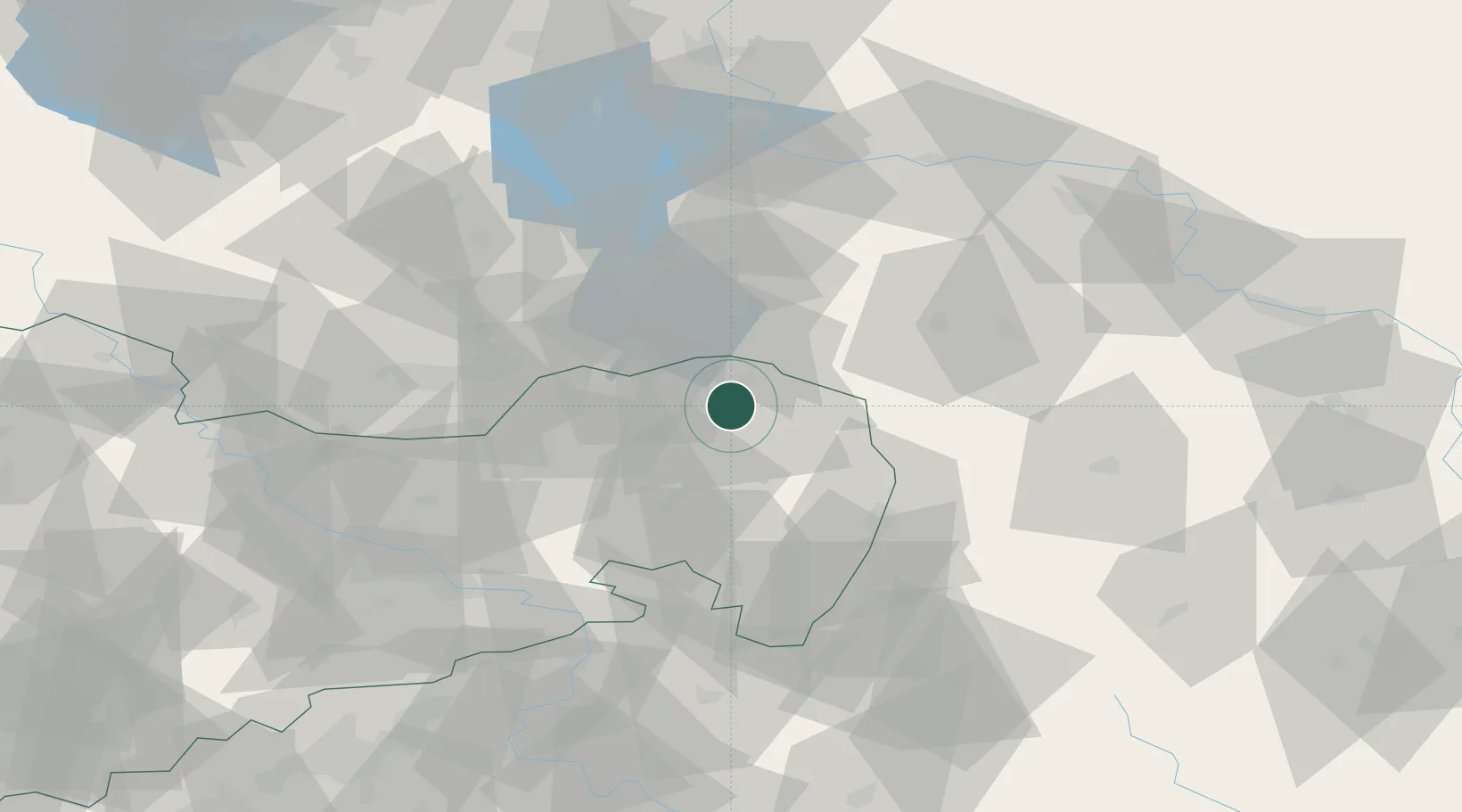
Location
Nearby Logistics Neighbours
Cities
- 1Mühlrose9 km
- 2Kreba-Neudorf13 km
- 3Rietschen14 km
- 4Döbern20 km
- 5Guttau21 km
Ports
- 1Szczecin221 km
- 2Police237 km
- 3Swinoujscie277 km
- 4Wolgast296 km
- 5Kolobrzeg316 km
Airports
- 1Rothenburg/Görlitz Airfield26 km
- 2Dresden Airport67 km
- 3Holzdorf Air Base106 km
- 4Zielona Góra-Babimost Airport114 km
- 5Berlin Brandenburg Airport128 km
Trade Zones
- 1Legnica SEZ (Legnicka SSE)94 km
- 2Kamienna Góra123 km
- 3Most - Joseph Industrial Zone125 km
- 4Kostrzyń-Słubice SEZ129 km
- 5Wałbrzych SEZ INVEST-PARK (Wałbrzyska SSE)137 km
DatabookThe Record of Consolidated Knowledge
Germany beyond logistics?