UN/LOCODE hub · Germany
DEKNU

Kreba-Neudorf

51.3333°, 14.6833°
2
Transport functions

Transport Functions

Road
Multimodal
UN/LOCODE

Hub Profile

Region
SN
GeoNames

Location

Location of DEKNU
Natural Earth 10m (public domain) · SN · DEKNU · 51.33, 14.68GoogleOSMYandex

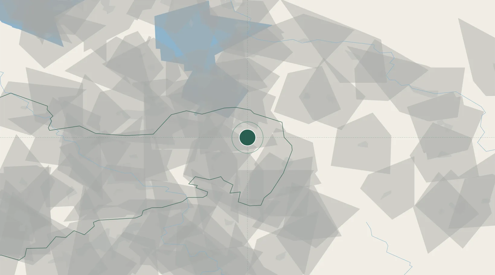
Nearby Logistics Neighbours

Cities
  1. 1Rietschen9 km
  2. 2Niesky12 km
  3. 3Guttau12 km
  4. 4Nochten13 km
  5. 5Weissenberg15 km
Nearest neighbours — logibook spatial index (haversine) over the source coordinates
Ports
  1. 1Szczecin232 km
  2. 2Police249 km
  3. 3Swinoujscie289 km
  4. 4Wolgast308 km
  5. 5Kolobrzeg326 km
Nearest neighbours — logibook spatial index (haversine) over the source coordinates
Airports
  1. 1Rothenburg/Görlitz Airfield19 km
  2. 2Dresden Airport68 km
  3. 3Holzdorf Air Base115 km
  4. 4Zielona Góra-Babimost Airport118 km
  5. 5Vodochody Airport126 km
Nearest neighbours — logibook spatial index (haversine) over the source coordinates
Trade Zones
  1. 1Legnica SEZ (Legnicka SSE)87 km
  2. 2Kamienna Góra112 km
  3. 3Most - Joseph Industrial Zone119 km
  4. 4Wałbrzych SEZ INVEST-PARK (Wałbrzyska SSE)127 km
  5. 5Žatec - Triangle Strategic Industrial Zone132 km
Nearest neighbours — logibook spatial index (haversine) over the source coordinates
DatabookThe Record of Consolidated Knowledge
Germany beyond logistics?
Browse databook

All Sources

LocationsUN/LOCODE
UN/LOCODE — free
Portsthe NGA World Port Index
Public domain (US gov)
AirportsOurAirports
Public domain
Trade Zonesthe World Bank SEZ database
CC BY 4.0
Trade ZonesOpen Zone Map
CC BY
← Germany locations