Transport Functions
Rail
Road
Hub Profile
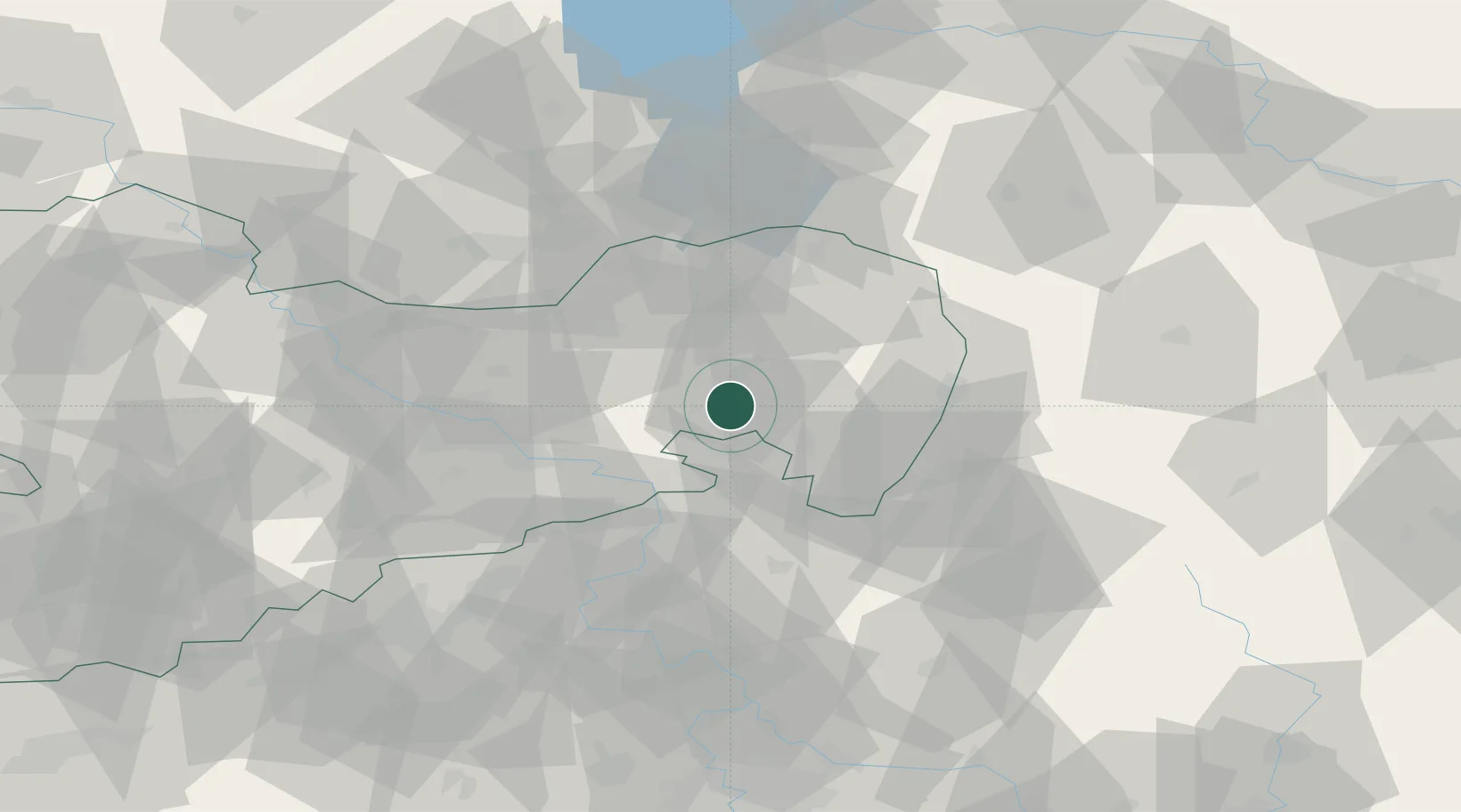
Place type
Populated place
Region
Saxony
Population
2,607
Time zone
Europe/Berlin
Elevation
245 m
Location
Nearby Logistics Neighbours
Cities
- 1Wilthen1 km
- 2Grosspostwitz3 km
- 3Cunewalde6 km
- 4Gaussig7 km
- 5Doberschau-Gassig7 km
Ports
- 1Szczecin258 km
- 2Police275 km
- 3Swinoujscie313 km
- 4Wolgast331 km
- 5Kolobrzeg355 km
Airports
- 1Dresden Airport45 km
- 2Rothenburg/Görlitz Airfield47 km
- 3Vodochody Airport98 km
- 4Kostomlaty Airstrip105 km
- 5Prague–Kbely Air Base109 km
Trade Zones
- 1Most - Joseph Industrial Zone87 km
- 2Žatec - Triangle Strategic Industrial Zone101 km
- 3Legnica SEZ (Legnicka SSE)108 km
- 4Kamienna Góra118 km
- 5Podbořany Industrial Zone120 km
DatabookThe Record of Consolidated Knowledge
Germany beyond logistics?