Transport Functions
Port
Multimodal
Hub Profile
Place type
Local administrative seat
Region
Rheinland-Pfalz
Population
1,929
Time zone
Europe/Berlin
Elevation
169 m
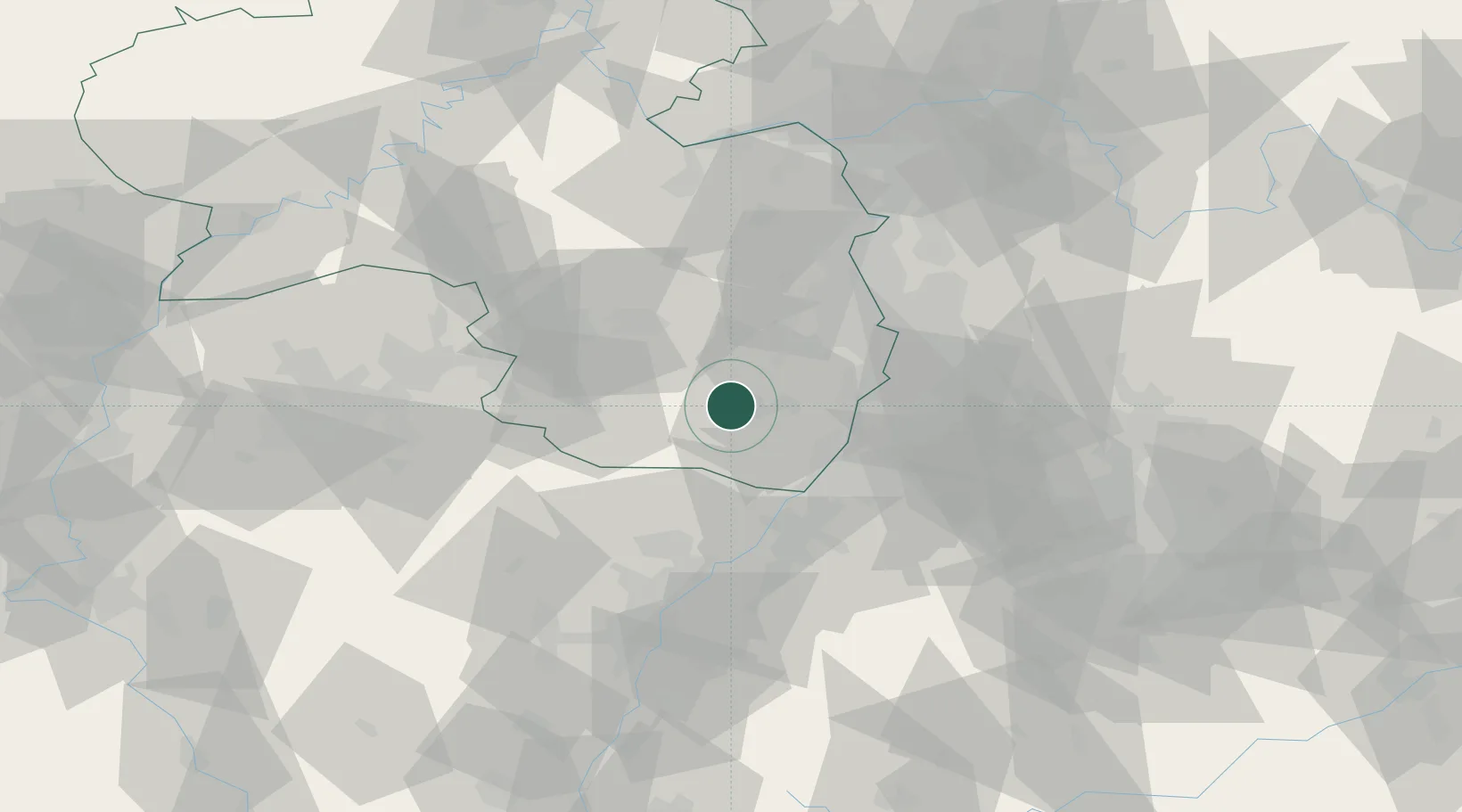
Location
Nearby Logistics Neighbours
Cities
- 1Birkweiler2 km
- 2Siebeldingen2 km
- 3Leinsweiler4 km
- 4Flemlingen5 km
- 5Roschbach8 km
Airports
- 1Ramstein Air Base39 km
- 2Mannheim-City Airport46 km
- 3Karlsruhe Baden-Baden Airport49 km
- 4Saarbrücken Airport66 km
- 5Phalsbourg-Bourscheid Air Base78 km
Trade Zones
- 1ZFU Hautepierre73 km
- 2ZFU Neuhof77 km
- 3ZFU La Cité Behren-lès-Forbach79 km
- 4ZFU Metz136 km
- 5ZFU Woippy-Metz136 km
DatabookThe Record of Consolidated Knowledge
Germany beyond logistics?