Transport Functions
Road
Multimodal
Hub Profile
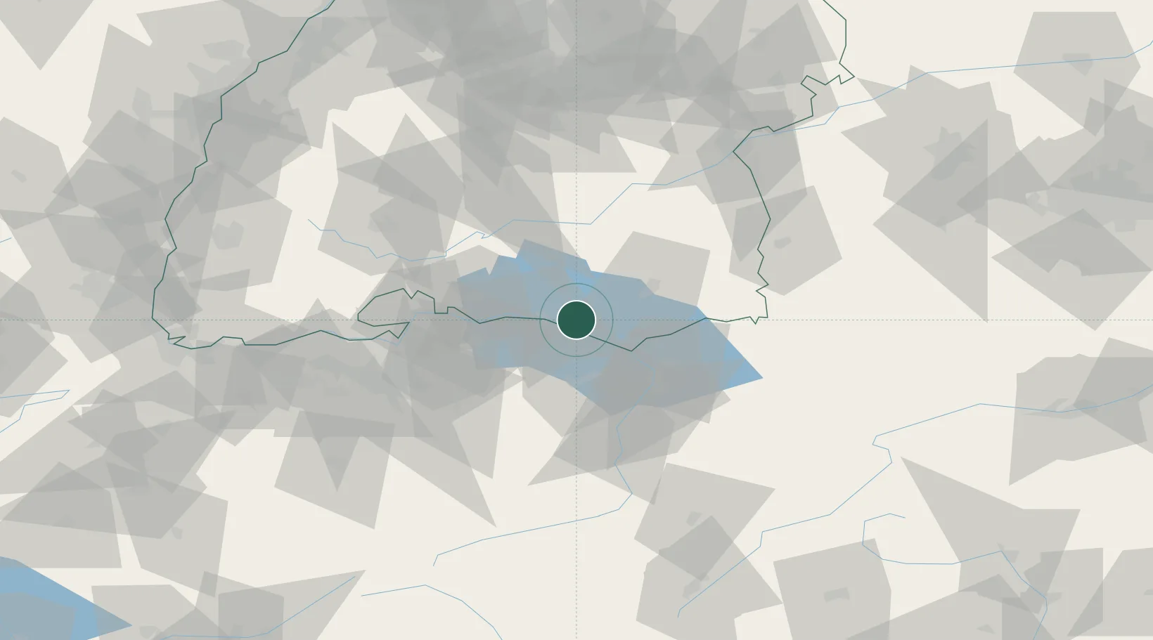
Place type
Populated place
Region
Baden-Wurttemberg
Population
1,342
Time zone
Europe/Berlin
Elevation
416 m
Location
Nearby Logistics Neighbours
Cities
- 1Bermatingen8 km
- 2Güttingen8 km
- 3Uttwil9 km
- 4Romanshorn12 km
- 5Nussdorf13 km
Ports
- 1Porto Di Lido-Venezia346 km
- 2Porto Di Chioggia354 km
- 3Nogaro362 km
- 4Genova365 km
- 5Chiavari - Lavagna374 km
Airports
Trade Zones
- 1Livigno Free Trade Zone139 km
- 2ZFU Mulhouse148 km
- 3ZFU Neuhof151 km
- 4ZFU Hautepierre159 km
- 5ZFU Belfort188 km
DatabookThe Record of Consolidated Knowledge
Germany beyond logistics?