Transport Functions
Port
Rail
Road
Border Crossing
Hub Profile
Place type
District seat
Region
Thurgau
Population
8,956
Time zone
Europe/Zurich
Elevation
401 m
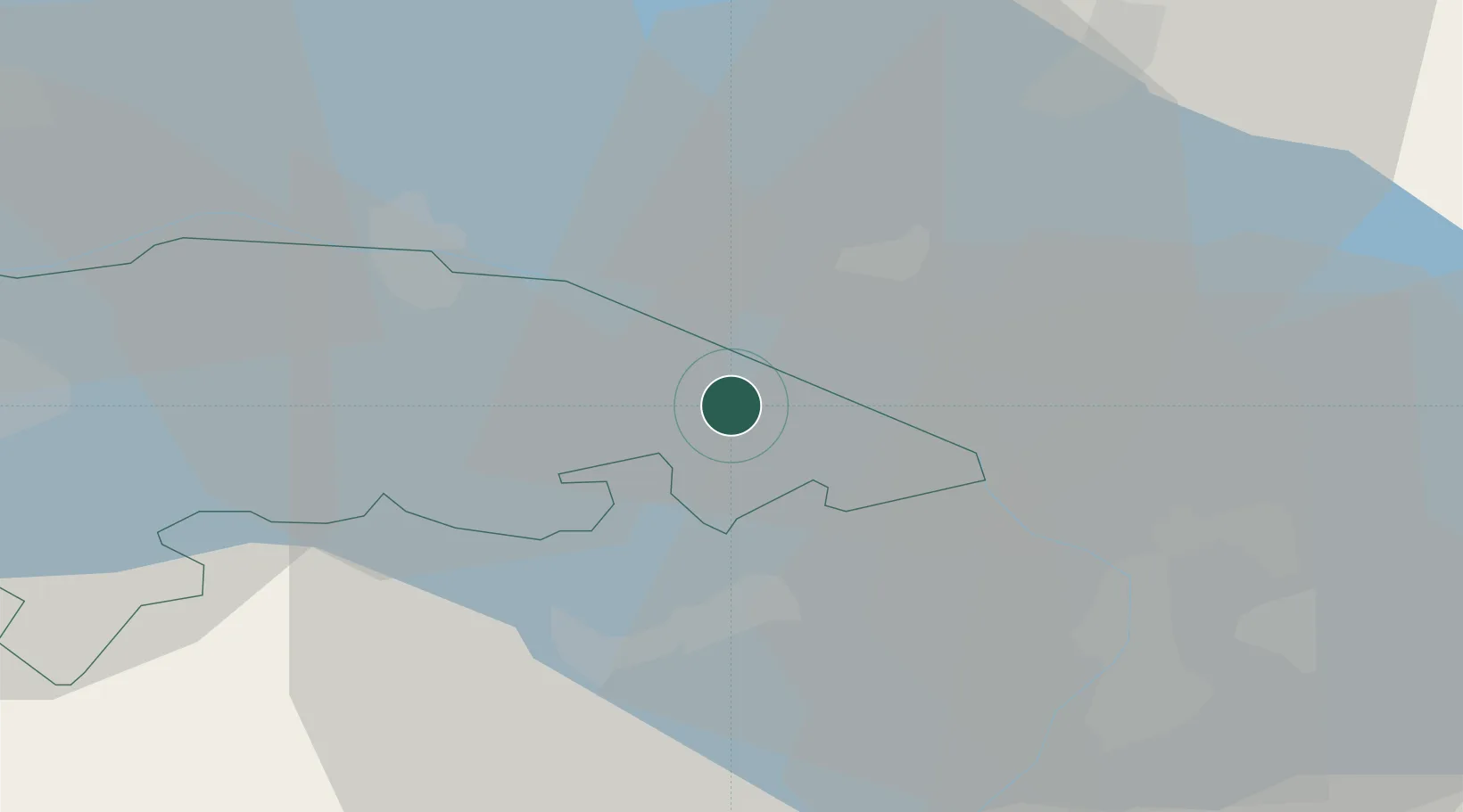
Location
Nearby Logistics Neighbours
Ports
- 1Porto Di Lido-Venezia334 km
- 2Porto Di Chioggia343 km
- 3Nogaro352 km
- 4Genova354 km
- 5Chiavari - Lavagna363 km
Airports
Trade Zones
- 1Livigno Free Trade Zone127 km
- 2ZFU Mulhouse155 km
- 3ZFU Neuhof162 km
- 4ZFU Hautepierre170 km
- 5ZFU Belfort193 km
DatabookThe Record of Consolidated Knowledge
Switzerland beyond logistics?