Transport Functions
Multimodal
Hub Profile
Place type
Populated place
Region
Brandenburg
Time zone
Europe/Berlin
Elevation
52 m
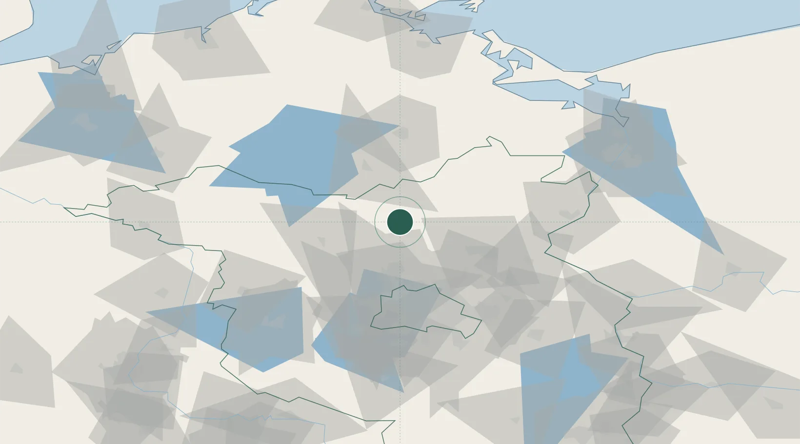
Location
Nearby Logistics Neighbours
Cities
- 1Zehdenick7 km
- 2Dannenwalde8 km
- 3Zehdenick8 km
- 4Gransee9 km
- 5Liebenwalde21 km
Ports
- 1Szczecin96 km
- 2Police105 km
- 3Wolgast118 km
- 4Swinoujscie118 km
- 5Rostock140 km
Airports
Trade Zones
- 1Szczecin Duty Free Zone97 km
- 2Kostrzyń-Słubice SEZ104 km
- 3Swinoujscie Duty Free Zone117 km
- 4Freeport of Kiel250 km
- 5Legnica SEZ (Legnicka SSE)267 km
DatabookThe Record of Consolidated Knowledge
Germany beyond logistics?