UN/LOCODE hub · Germany
DEGOQ

Görgeshausen

50.4167°, 7.9500°
2
Transport functions

Transport Functions

Road
Multimodal
UN/LOCODE

Hub Profile

Region
RP
GeoNames

Location

Location of DEGOQ
Natural Earth 10m (public domain) · RP · DEGOQ · 50.42, 7.95GoogleOSMYandex

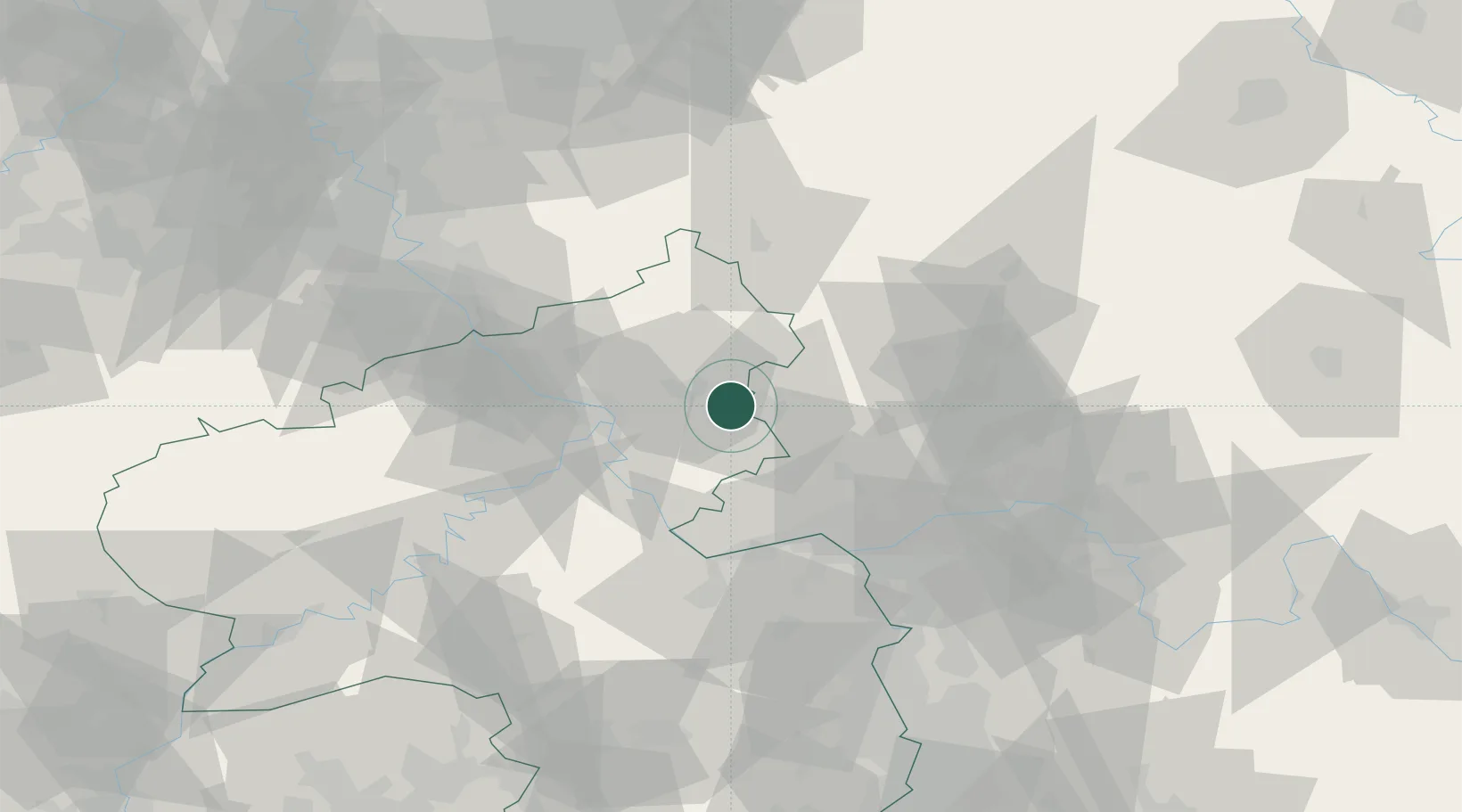
Nearby Logistics Neighbours

Cities
  1. 1Nentershausen1 km
  2. 2Dreikirchen2 km
  3. 3Girod4 km
  4. 4Weroth B Montabaur6 km
  5. 5Ruppach-Goldhausen6 km
Nearest neighbours — logibook spatial index (haversine) over the source coordinates
Ports
  1. 1Bruxelles259 km
  2. 2Antwerpen265 km
  3. 3Dordrecht278 km
  4. 4Rotterdam293 km
  5. 5Schiedam297 km
Nearest neighbours — logibook spatial index (haversine) over the source coordinates
Airports
  1. 1Siegerland Airport34 km
  2. 2Wiesbaden Army Airfield49 km
  3. 3Mainz-Finthen Airfield52 km
  4. 4Frankfurt Main Airport61 km
  5. 5Büchel Air Base69 km
Nearest neighbours — logibook spatial index (haversine) over the source coordinates
Trade Zones
  1. 1Rheinische Revier SWZ123 km
  2. 2Freeport of Duisburg149 km
  3. 3Luxembourg Free Port151 km
  4. 4ZFU La Cité Behren-lès-Forbach157 km
  5. 5ZFU Woippy-Metz191 km
Nearest neighbours — logibook spatial index (haversine) over the source coordinates
DatabookThe Record of Consolidated Knowledge
Germany beyond logistics?
Browse databook

All Sources

LocationsUN/LOCODE
UN/LOCODE — free
Portsthe NGA World Port Index
Public domain (US gov)
AirportsOurAirports
Public domain
Trade Zonesthe World Bank SEZ database
CC BY 4.0
Trade ZonesOpen Zone Map
CC BY
← Germany locations