UN/LOCODE hub · Germany
DERGO
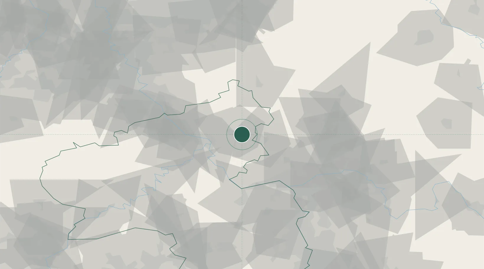
Ruppach-Goldhausen
50.4500°, 7.8833°
1,155
Population
2
Transport functions
Transport Functions
Rail
Road
Hub Profile
Place type
Local administrative seat
Region
Rheinland-Pfalz
Population
1,155
Time zone
Europe/Berlin
Elevation
301 m
Location
Nearby Logistics Neighbours
Cities
- 1Heiligenroth1 km
- 2Girod2 km
- 3Bannberscheid4 km
- 4Staudt4 km
- 5Montabaur4 km
Airports
- 1Siegerland Airport32 km
- 2Wiesbaden Army Airfield55 km
- 3Mainz-Finthen Airfield57 km
- 4Büchel Air Base66 km
- 5Frankfurt Main Airport67 km
Trade Zones
- 1Rheinische Revier SWZ118 km
- 2Freeport of Duisburg143 km
- 3Luxembourg Free Port149 km
- 4ZFU La Cité Behren-lès-Forbach158 km
- 5ZFU Woippy-Metz191 km
DatabookThe Record of Consolidated Knowledge
Germany beyond logistics?