Transport Functions
Road
Multimodal
Hub Profile
Place type
Populated place
Region
Mecklenburg-Vorpommern
Population
463
Time zone
Europe/Berlin
Elevation
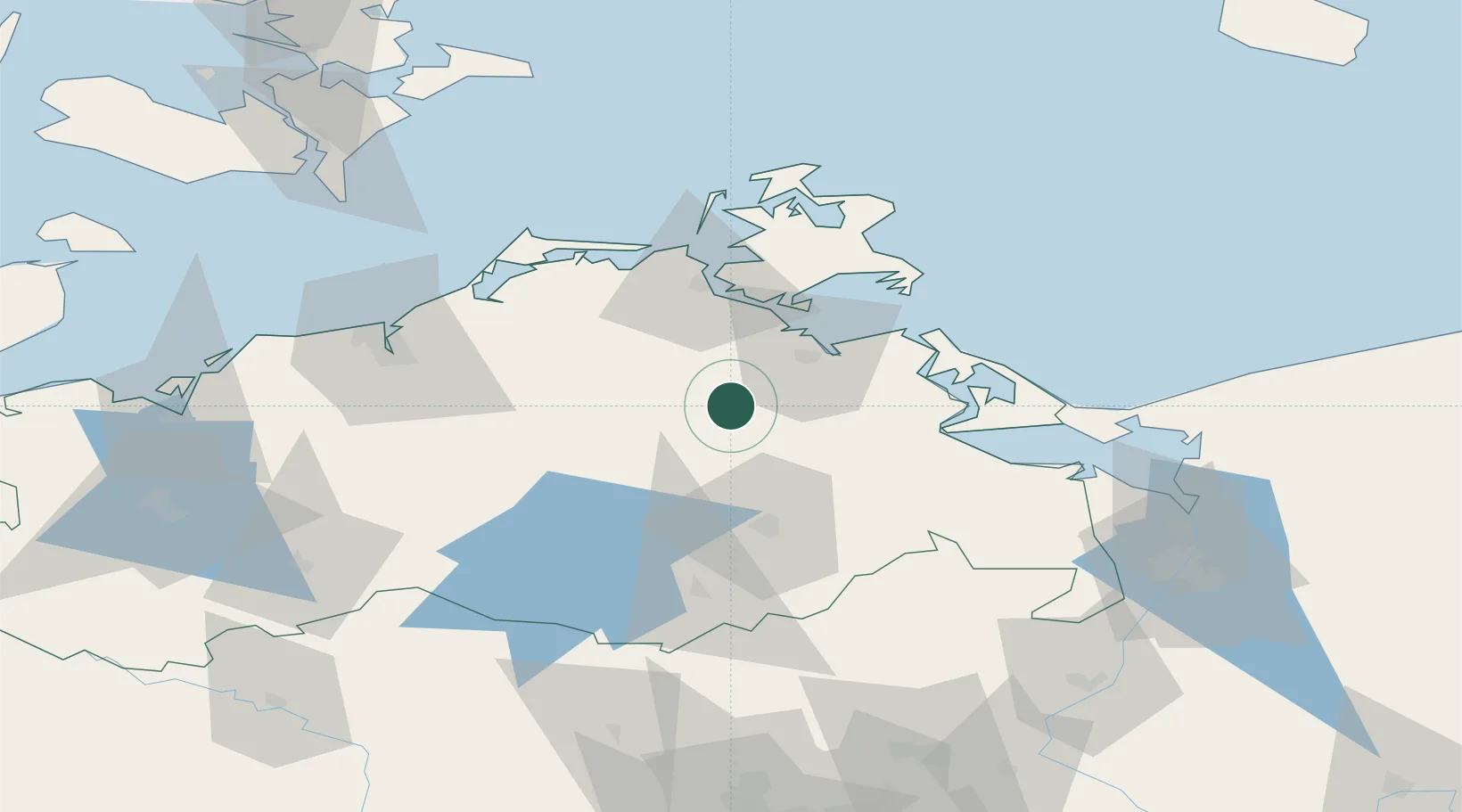
10 m
Location
Nearby Logistics Neighbours
Cities
- 1Loitz (Demmin)4 km
- 2Görmin9 km
- 3Demmin10 km
- 4Grimmen22 km
- 5Dargun23 km
Ports
- 1Wolgast42 km
- 2Stralsund43 km
- 3Rostock70 km
- 4Swinoujscie72 km
- 5Sassnitz72 km
Airports
Trade Zones
- 1Swinoujscie Duty Free Zone73 km
- 2Szczecin Duty Free Zone109 km
- 3Kostrzyń-Słubice SEZ178 km
- 4MTS Malmö Transport and Spedition186 km
- 5Freeport of Kiel200 km
DatabookThe Record of Consolidated Knowledge
Germany beyond logistics?