Transport Functions
Rail
Road
Hub Profile
Region
MV
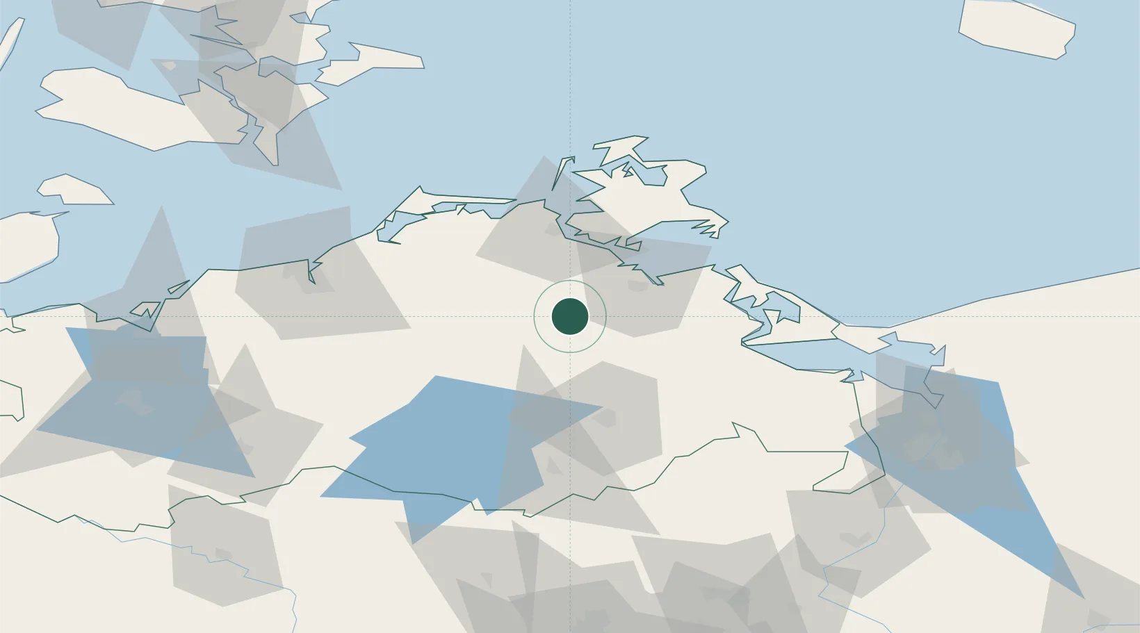
Location
Nearby Logistics Neighbours
Ports
- 1Stralsund39 km
- 2Wolgast44 km
- 3Rostock67 km
- 4Sassnitz70 km
- 5Swinoujscie74 km
Airports
Trade Zones
- 1Swinoujscie Duty Free Zone75 km
- 2Szczecin Duty Free Zone113 km
- 3MTS Malmö Transport and Spedition182 km
- 4Kostrzyń-Słubice SEZ182 km
- 5Freeport of Kiel197 km
DatabookThe Record of Consolidated Knowledge
Germany beyond logistics?