Transport Functions
Port
Road
Hub Profile
Place type
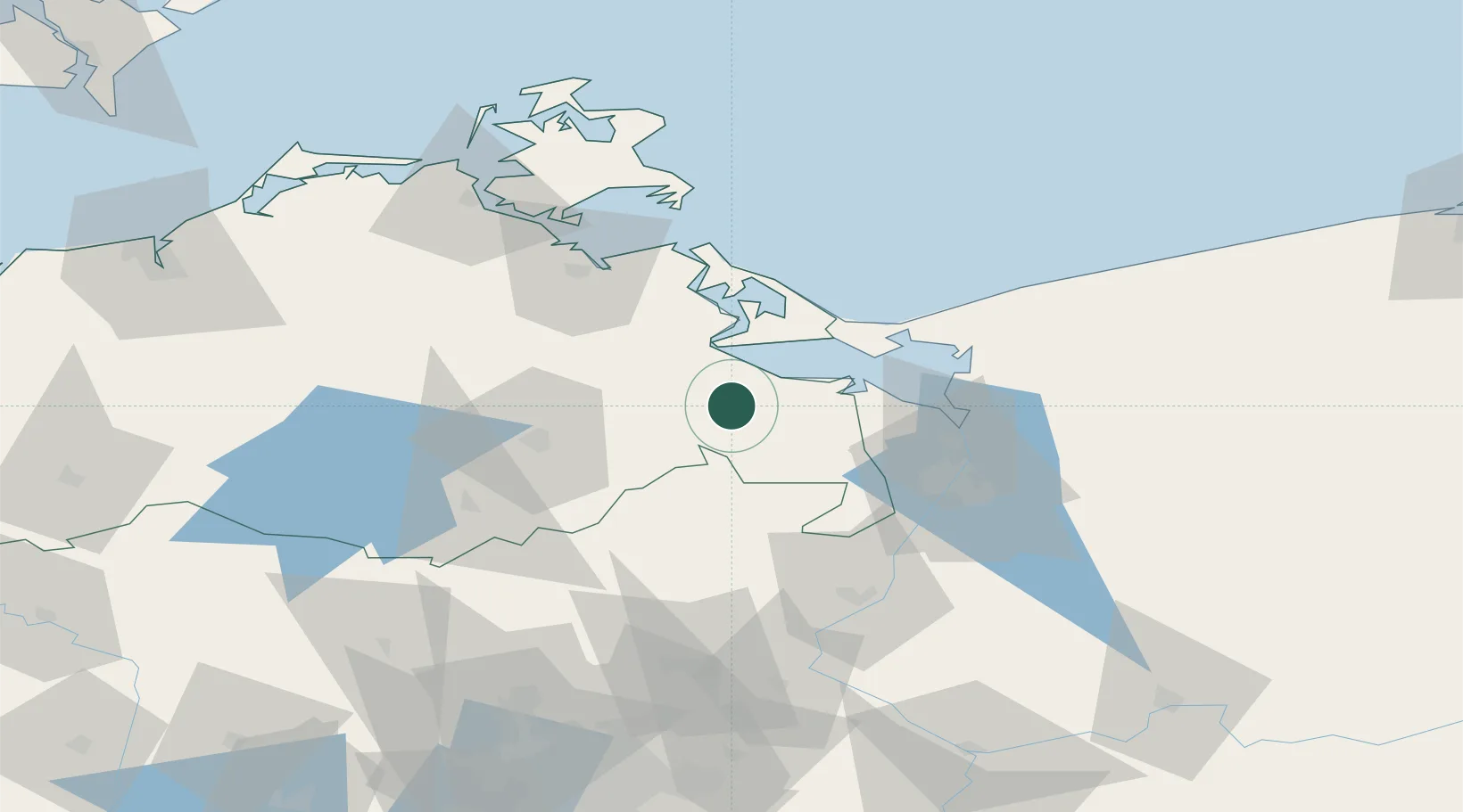
Populated place
Region
Mecklenburg-Vorpommern
Population
3,165
Time zone
Europe/Berlin
Elevation
9 m
Location
Nearby Logistics Neighbours
Cities
- 1Torgelow10 km
- 2Liepgarten10 km
- 3Ueckermünde13 km
- 4Eggesin13 km
- 5Grambin14 km
Ports
- 1Swinoujscie38 km
- 2Wolgast43 km
- 3Police46 km
- 4Szczecin52 km
- 5Stralsund89 km
Airports
Trade Zones
- 1Swinoujscie Duty Free Zone36 km
- 2Szczecin Duty Free Zone53 km
- 3Kostrzyń-Słubice SEZ129 km
- 4MTS Malmö Transport and Spedition222 km
- 5Słupsk SEZ (Słupska SSE)224 km
DatabookThe Record of Consolidated Knowledge
Germany beyond logistics?