Transport Functions
Multimodal
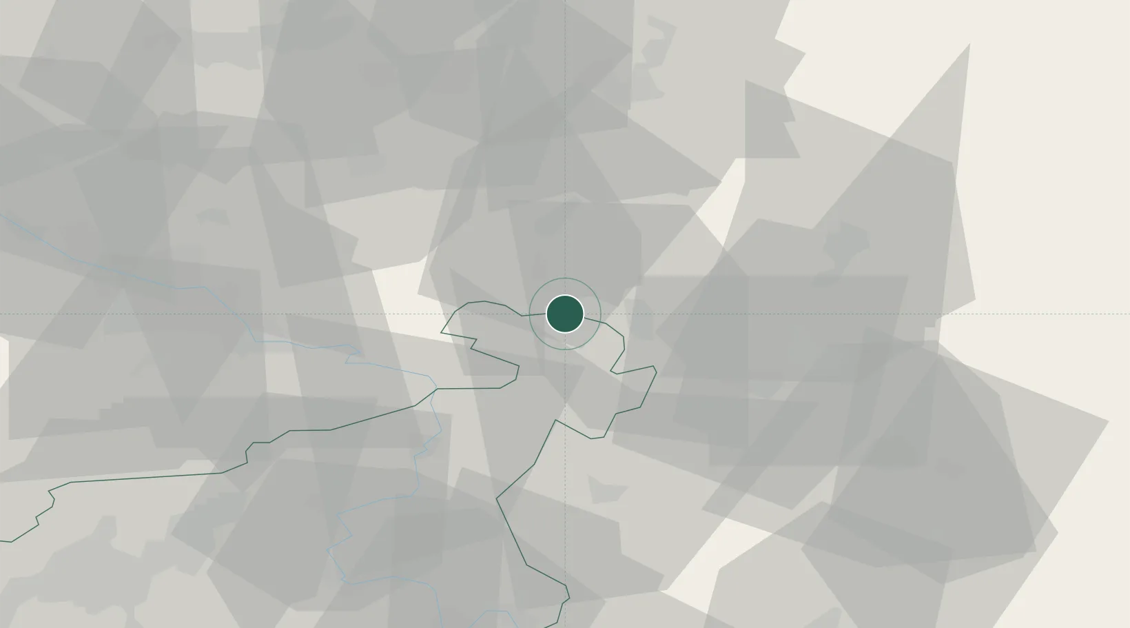
Hub Profile
Place type
Populated place
Region
Ústecký kraj
Population
5,701
Time zone
Europe/Prague
Elevation
355 m
Location
Nearby Logistics Neighbours
Cities
- 1Cunewalde10 km
- 2Kirschau10 km
- 3Rumburk10 km
- 4Wilthen10 km
- 5Grosspostwitz11 km
Ports
- 1Szczecin267 km
- 2Police284 km
- 3Swinoujscie323 km
- 4Wolgast340 km
- 5Kolobrzeg363 km
Airports
- 1Dresden Airport51 km
- 2Rothenburg/Görlitz Airfield51 km
- 3Vodochody Airport89 km
- 4Kostomlaty Airstrip96 km
- 5Prague–Kbely Air Base100 km
Trade Zones
DatabookThe Record of Consolidated Knowledge
Czechia beyond logistics?