Transport Functions
Rail
Road
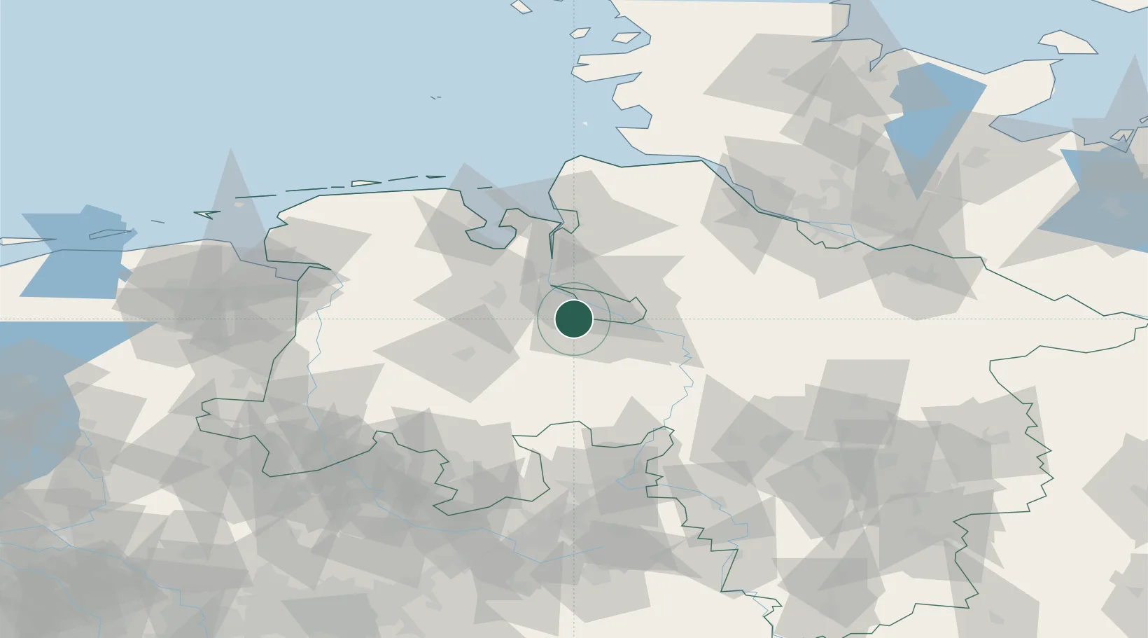
Hub Profile
Place type
District seat
Region
Lower Saxony
Population
75,893
Time zone
Europe/Berlin
Elevation
10 m
Location
Nearby Logistics Neighbours
Cities
- 1Ganderkesee6 km
- 2Gross Ippener9 km
- 3Bremen10 km
- 4Mittelsbüren10 km
- 5Lemwerder13 km
Airports
Trade Zones
DatabookThe Record of Consolidated Knowledge
Germany beyond logistics?