Transport Functions
Rail
Road
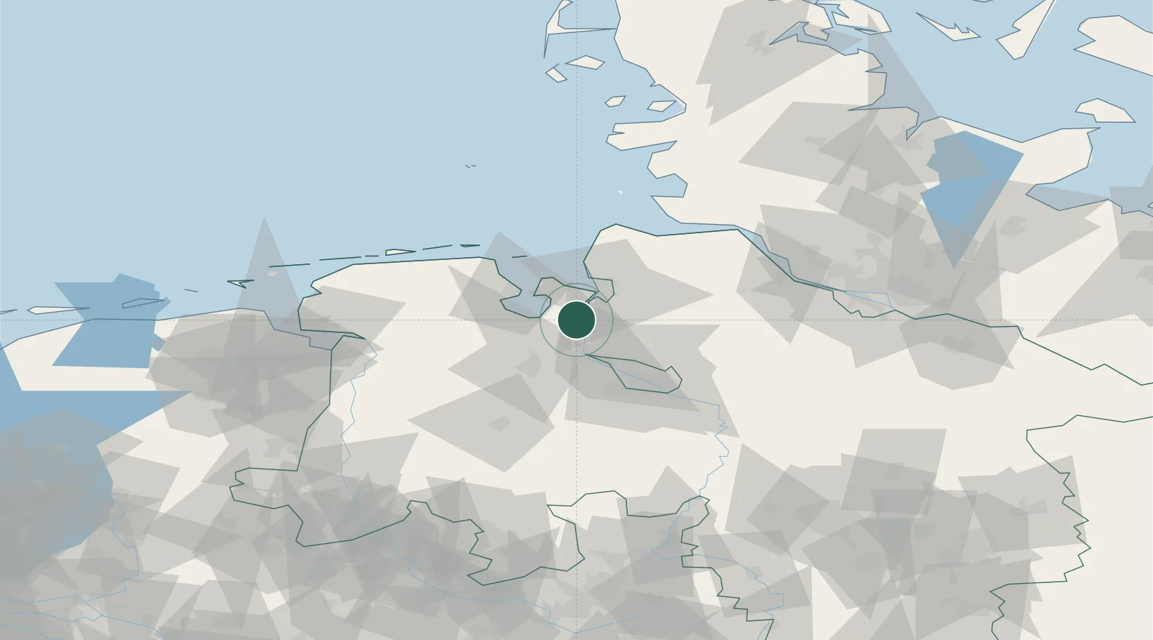
Hub Profile
Place type
Populated place
Region
Lower Saxony
Population
4,250
Time zone
Europe/Berlin
Elevation
2 m
Location
Nearby Logistics Neighbours
Cities
- 1Ovelgönne7 km
- 2Oldendorf7 km
- 3Grossensiel8 km
- 4Brake8 km
- 5Strückhausen9 km
Ports
- 1Brake8 km
- 2Nordenham10 km
- 3Bremerhaven17 km
- 4Elsfleth19 km
- 5Wilhelmshaven24 km
Airports
Trade Zones
DatabookThe Record of Consolidated Knowledge
Germany beyond logistics?