Transport Functions
Multimodal
Hub Profile
Place type
Local administrative seat
Region
Rheinland-Pfalz
Population
106
Time zone
Europe/Berlin
Elevation
493 m
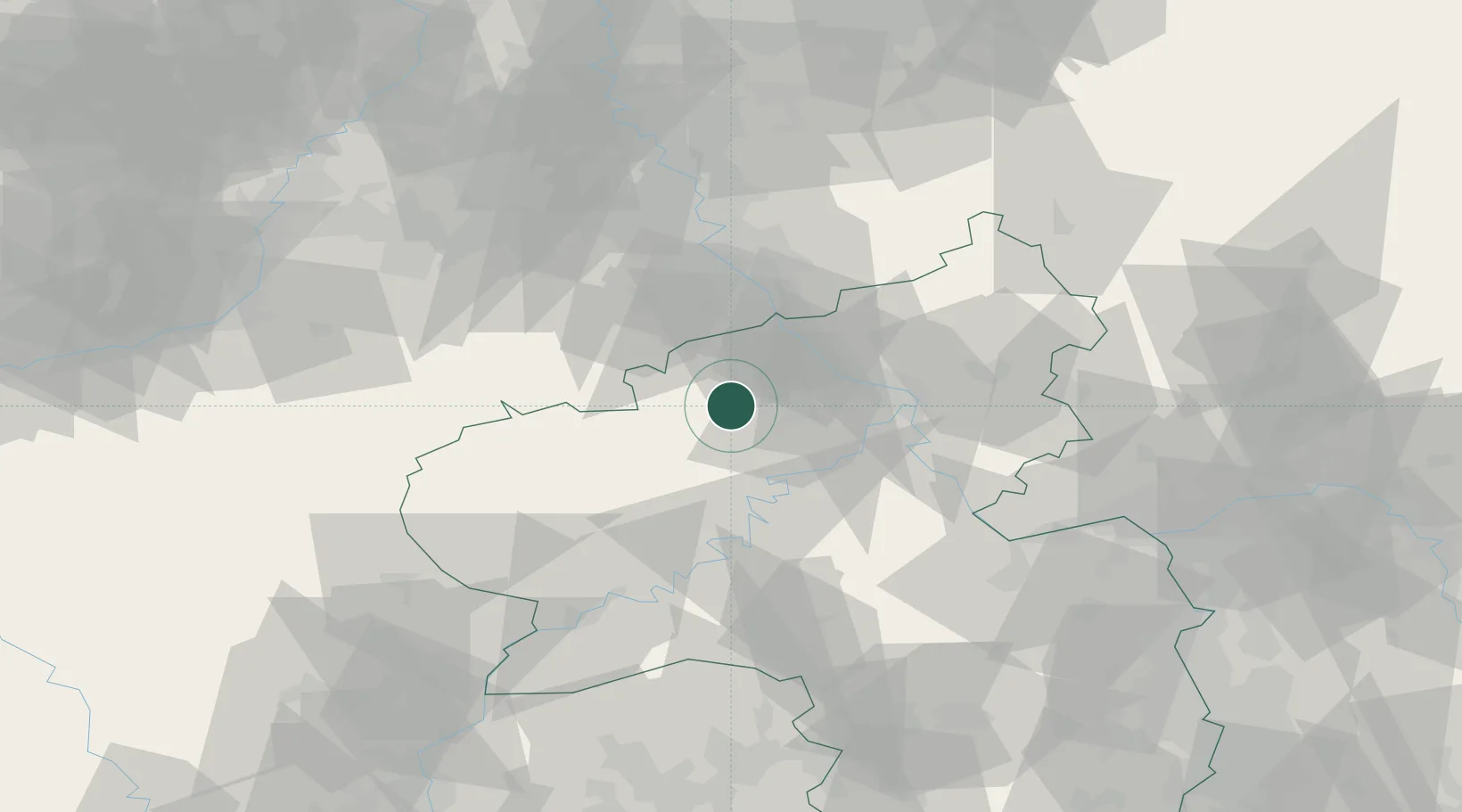
Location
Nearby Logistics Neighbours
Cities
- 1Siebenbach3 km
- 2Kempenich7 km
- 3Nürburg9 km
- 4Reimerath10 km
- 5Ettringen11 km
Airports
- 1Büchel Air Base21 km
- 2Frankfurt-Hahn Airport49 km
- 3Spangdahlem Air Base51 km
- 4Cologne Bonn Airport56 km
- 5Nörvenich Air Base59 km
Trade Zones
- 1Rheinische Revier SWZ77 km
- 2Luxembourg Free Port101 km
- 3Freeport of Duisburg125 km
- 4ZFU La Cité Behren-lès-Forbach134 km
- 5ZFU Woippy-Metz150 km
DatabookThe Record of Consolidated Knowledge
Germany beyond logistics?