Transport Functions
Port
Road
Hub Profile
Place type
Local administrative seat
Region
Brandenburg
Time zone
Europe/Berlin
Elevation
49 m
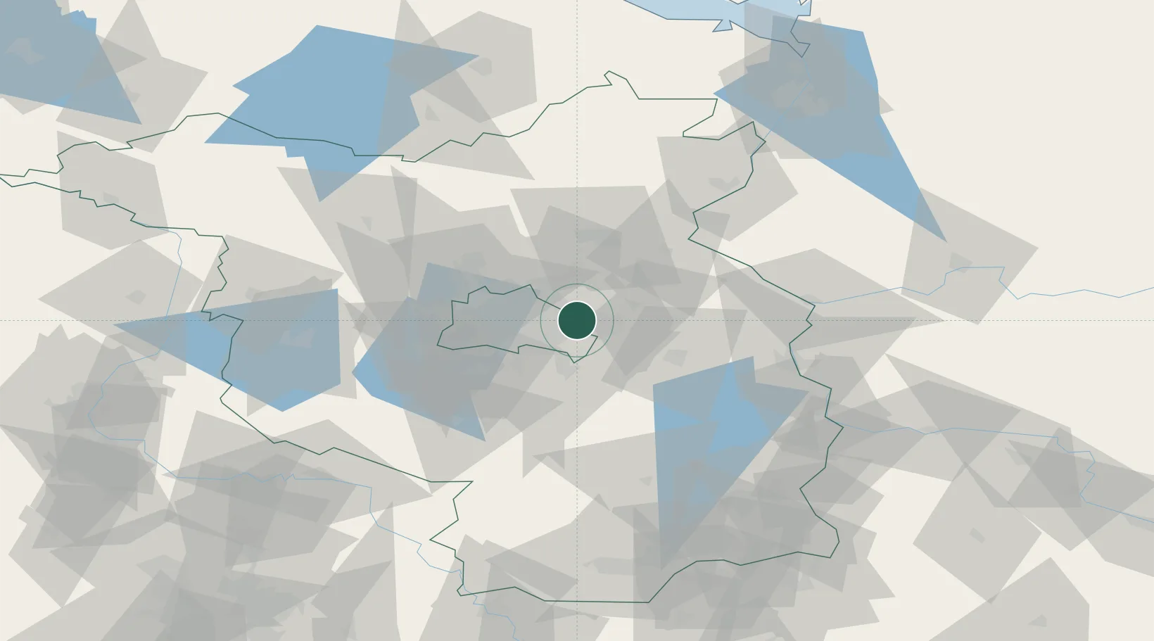
Location
Nearby Logistics Neighbours
Cities
- 1Neuenhagen bei Berlin2 km
- 2Petershagen/Eggersdorf8 km
- 3Ahrensfelde9 km
- 4Rüdersdorf10 km
- 5Woltersdorf10 km
Ports
- 1Szczecin116 km
- 2Police131 km
- 3Swinoujscie161 km
- 4Wolgast171 km
- 5Rostock203 km
Airports
- 1Berlin Brandenburg Airport21 km
- 2Holzdorf Air Base90 km
- 3Zerbst Airfield118 km
- 4Neubrandenburg Trollenhagen Airport123 km
- 5Solidarity Szczecin–Goleniów Airport145 km
Trade Zones
- 1Kostrzyń-Słubice SEZ66 km
- 2Szczecin Duty Free Zone117 km
- 3Swinoujscie Duty Free Zone159 km
- 4Legnica SEZ (Legnicka SSE)208 km
- 5Most - Joseph Industrial Zone226 km
DatabookThe Record of Consolidated Knowledge
Germany beyond logistics?