UN/LOCODE hub · Germany
DEPHE

Petershagen/Eggersdorf

52.5333°, 13.7833°
1
Transport functions

Transport Functions

Multimodal
UN/LOCODE

Hub Profile

Region
BB
GeoNames

Location

Location of DEPHE
Natural Earth 10m (public domain) · BB · DEPHE · 52.53, 13.78GoogleOSMYandex

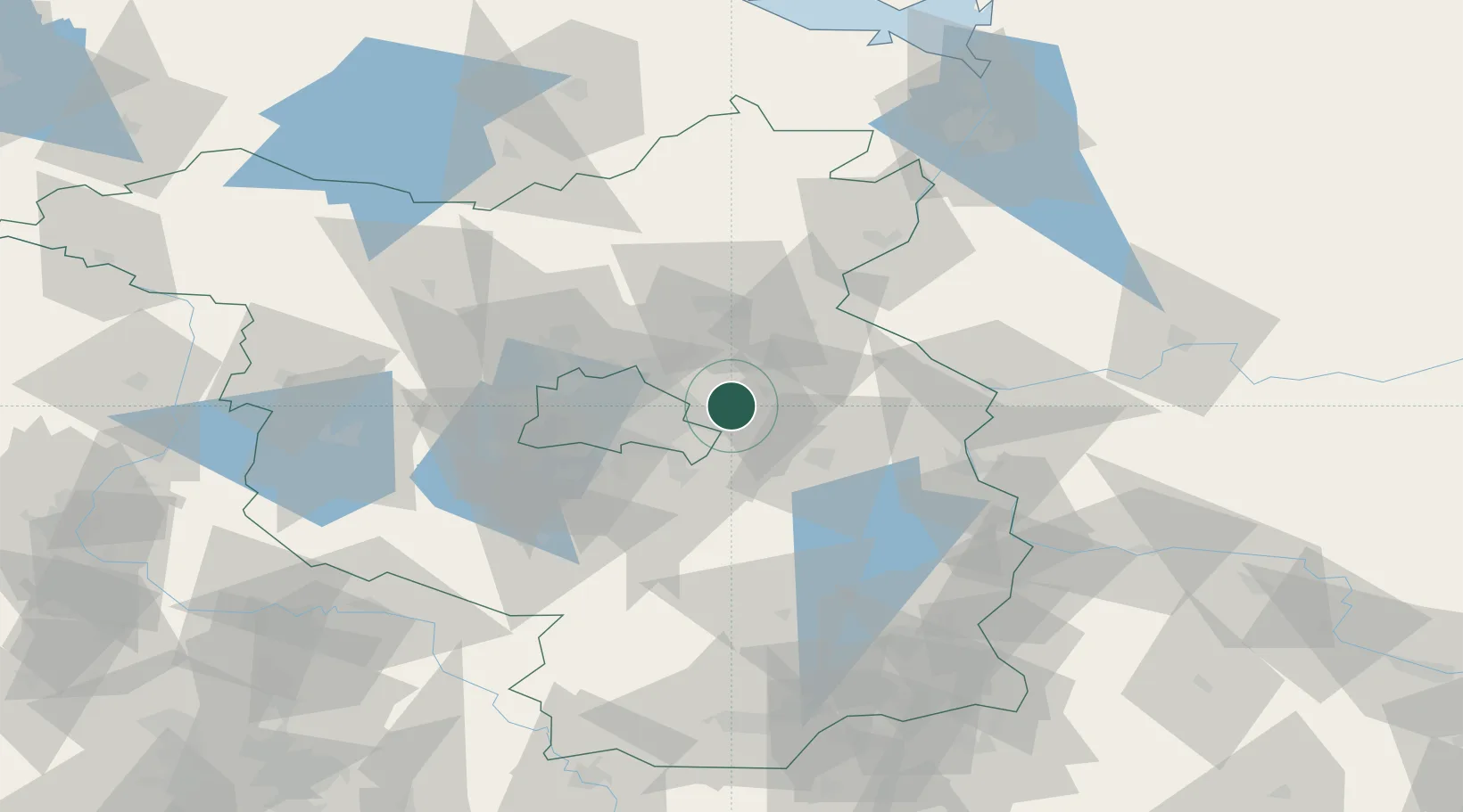
Nearby Logistics Neighbours

Cities
  1. 1Hennickendorf6 km
  2. 2Neuenhagen bei Berlin7 km
  3. 3Rüdersdorf7 km
  4. 4Hoppegarten8 km
  5. 5Woltersdorf9 km
Nearest neighbours — logibook spatial index (haversine) over the source coordinates
Ports
  1. 1Szczecin111 km
  2. 2Police126 km
  3. 3Swinoujscie157 km
  4. 4Wolgast169 km
  5. 5Stralsund203 km
Nearest neighbours — logibook spatial index (haversine) over the source coordinates
Airports
  1. 1Berlin Brandenburg Airport27 km
  2. 2Holzdorf Air Base95 km
  3. 3Neubrandenburg Trollenhagen Airport123 km
  4. 4Zerbst Airfield126 km
  5. 5Solidarity Szczecin–Goleniów Airport139 km
Nearest neighbours — logibook spatial index (haversine) over the source coordinates
Trade Zones
  1. 1Kostrzyń-Słubice SEZ58 km
  2. 2Szczecin Duty Free Zone112 km
  3. 3Swinoujscie Duty Free Zone155 km
  4. 4Legnica SEZ (Legnicka SSE)203 km
  5. 5Most - Joseph Industrial Zone228 km
Nearest neighbours — logibook spatial index (haversine) over the source coordinates
DatabookThe Record of Consolidated Knowledge
Germany beyond logistics?
Browse databook

All Sources

LocationsUN/LOCODE
UN/LOCODE — free
Portsthe NGA World Port Index
Public domain (US gov)
AirportsOurAirports
Public domain
Trade Zonesthe World Bank SEZ database
CC BY 4.0
Trade ZonesOpen Zone Map
CC BY
← Germany locations