UN/LOCODE hub · Germany
DENGB

Neuenhagen bei Berlin

52.5333°, 13.6833°
2
Transport functions

Transport Functions

Rail
Road
UN/LOCODE

Hub Profile

Region
BB
GeoNames

Location

Location of DENGB
Natural Earth 10m (public domain) · BB · DENGB · 52.53, 13.68GoogleOSMYandex

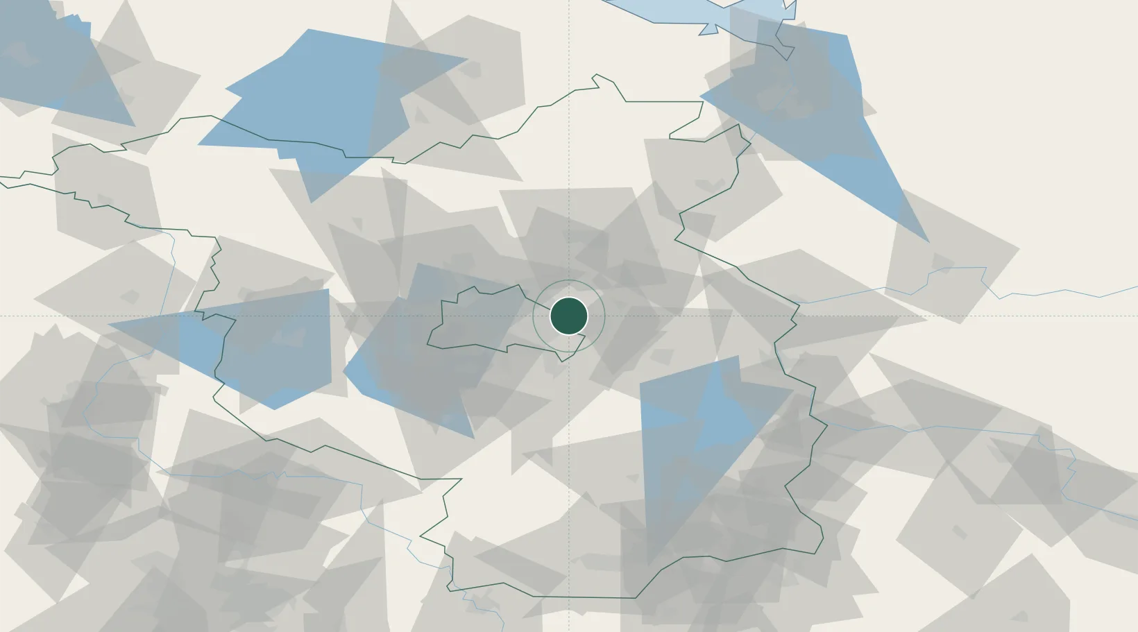
Nearby Logistics Neighbours

Cities
  1. 1Hoppegarten2 km
  2. 2Petershagen/Eggersdorf7 km
  3. 3Ahrensfelde9 km
  4. 4Rüdersdorf10 km
  5. 5Woltersdorf11 km
Nearest neighbours — logibook spatial index (haversine) over the source coordinates
Ports
  1. 1Szczecin114 km
  2. 2Police129 km
  3. 3Swinoujscie159 km
  4. 4Wolgast169 km
  5. 5Stralsund202 km
Nearest neighbours — logibook spatial index (haversine) over the source coordinates
Airports
  1. 1Berlin Brandenburg Airport23 km
  2. 2Holzdorf Air Base92 km
  3. 3Zerbst Airfield120 km
  4. 4Neubrandenburg Trollenhagen Airport122 km
  5. 5Solidarity Szczecin–Goleniów Airport143 km
Nearest neighbours — logibook spatial index (haversine) over the source coordinates
Trade Zones
  1. 1Kostrzyń-Słubice SEZ65 km
  2. 2Szczecin Duty Free Zone115 km
  3. 3Swinoujscie Duty Free Zone157 km
  4. 4Legnica SEZ (Legnicka SSE)208 km
  5. 5Most - Joseph Industrial Zone228 km
Nearest neighbours — logibook spatial index (haversine) over the source coordinates
DatabookThe Record of Consolidated Knowledge
Germany beyond logistics?
Browse databook

All Sources

LocationsUN/LOCODE
UN/LOCODE — free
Portsthe NGA World Port Index
Public domain (US gov)
AirportsOurAirports
Public domain
Trade Zonesthe World Bank SEZ database
CC BY 4.0
Trade ZonesOpen Zone Map
CC BY
← Germany locations