Transport Functions
Rail
Road
Hub Profile
Place type
Local administrative seat
Region
Brandenburg
Population
7,581
Time zone
Europe/Berlin
Elevation
51 m
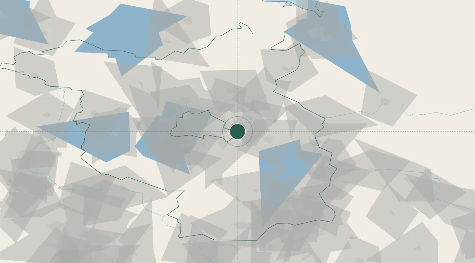
Location
Nearby Logistics Neighbours
Cities
- 1Rüdersdorf2 km
- 2Erkner4 km
- 3Grünheide5 km
- 4Hennickendorf8 km
- 5Petershagen/Eggersdorf9 km
Ports
- 1Szczecin120 km
- 2Police135 km
- 3Swinoujscie167 km
- 4Wolgast178 km
- 5Stralsund212 km
Airports
- 1Berlin Brandenburg Airport20 km
- 2Holzdorf Air Base86 km
- 3Zerbst Airfield121 km
- 4Neubrandenburg Trollenhagen Airport132 km
- 5Zielona Góra-Babimost Airport143 km
Trade Zones
- 1Kostrzyń-Słubice SEZ61 km
- 2Szczecin Duty Free Zone121 km
- 3Swinoujscie Duty Free Zone164 km
- 4Legnica SEZ (Legnicka SSE)198 km
- 5Most - Joseph Industrial Zone219 km
DatabookThe Record of Consolidated Knowledge
Germany beyond logistics?