Transport Functions
Port
Road
Hub Profile
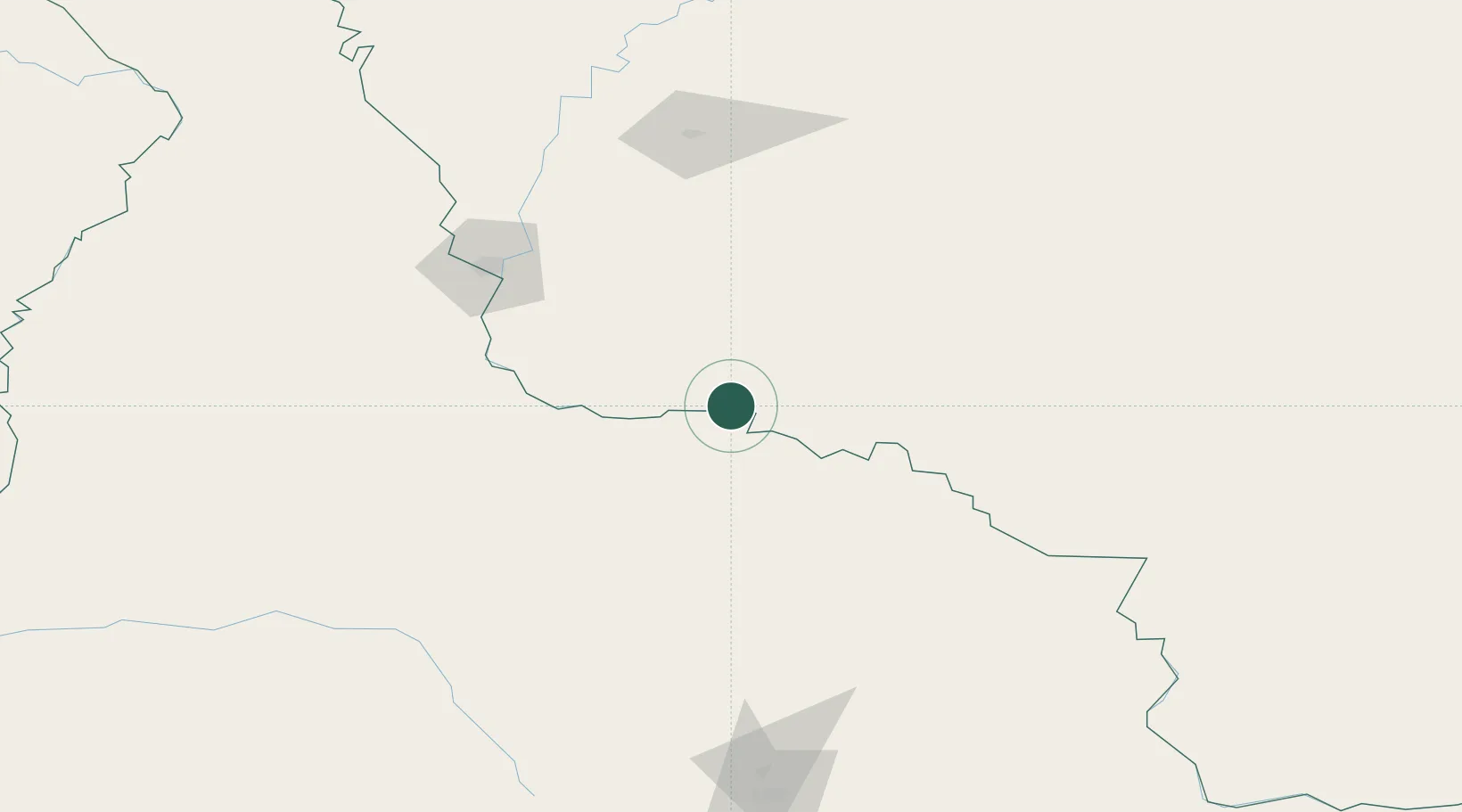
Place type
Provincial seat
Region
Amur Oblast
Population
7,003
Time zone
Asia/Yakutsk
Elevation
109 m
Location
Nearby Logistics Neighbours
Ports
- 1Vladivostok762 km
- 2Slavyanka777 km
- 3Pos'yet790 km
- 4Zarubino796 km
- 5Nakhodka822 km
Airports
- 1Heihe Aihui Airport117 km
- 2Ignatyevo Airport129 km
- 3Yichun Lindu Airport207 km
- 4Wudalianchi Dedu Airport227 km
- 5Jiamusi Songjiang International Airport334 km
Trade Zones
DatabookThe Record of Consolidated Knowledge
Russia beyond logistics?