Transport Functions
Multimodal
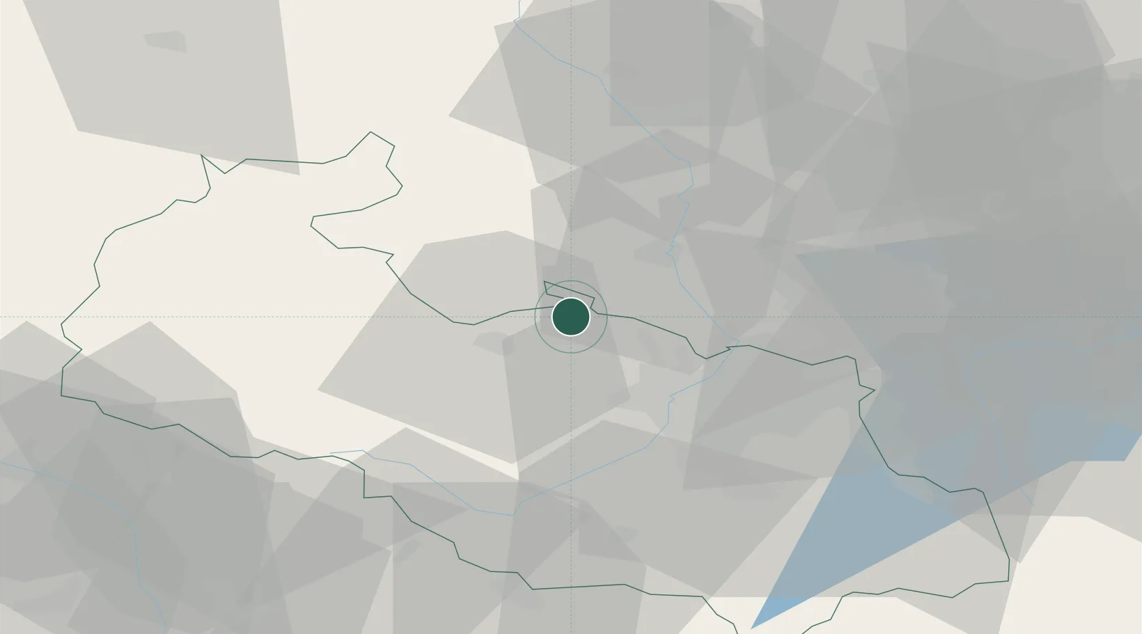
Hub Profile
Place type
Populated place
Region
Moravskoslezský
Population
3,228
Time zone
Europe/Prague
Elevation
245 m
Location
Nearby Logistics Neighbours
Cities
- 1Chuchelna5 km
- 2Kravare ve Slezsku6 km
- 3Kravare7 km
- 4Stitina8 km
- 5Dolní Benesov9 km
Airports
Trade Zones
DatabookThe Record of Consolidated Knowledge
Czechia beyond logistics?