About
Methodology
Sources
Licensing
English
EN
English
TR
Türkçe
DE
Deutsch
FR
Français
ES
Español
IT
Italiano
PT
Português
NL
Nederlands
PL
Polski
RU
Русский
UK
Українська
CS
Čeština
RO
Română
EL
Ελληνικά
BG
Български
AR
العربية
FA
فارسی
UR
اردو
HI
हिन्दी
BN
বাংলা
ID
Bahasa Indonesia
VI
Tiếng Việt
ZH
中文
JA
日本語
KO
한국어
logibook
/
Countries
/
Czechia
/
Locations
/
Kravare ve Slezsku
UN/LOCODE hub ·
Czechia
CZ
KSU
Kravare ve Slezsku
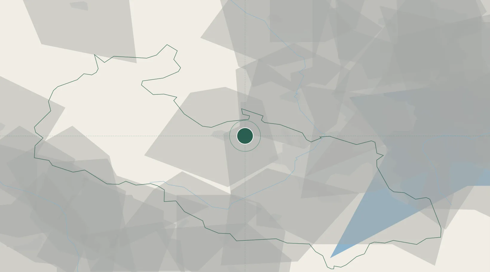
49.9333°, 18.0167°
1
Transport functions
Transport Functions
Multimodal
UN/LOCODE
Hub Profile
Region
Moravskoslezský
GeoNames
Time zone
Europe/Prague
GeoNames
Elevation
244 m
GeoNames
Location
Natural Earth 10m (public domain) · Moravskoslezský · CZKSU · 49.93, 18.02
Google ↗
OSM ↗
Yandex ↗
Nearby Logistics Neighbours
Cities
1
Kravare
1 km
2
Stitina
2 km
3
Koberice
6 km
4
Dolní Benesov
7 km
5
Chuchelna
9 km
Nearest neighbours — logibook spatial index (haversine) over the source coordinates
Ports
1
Szczecin
455 km
2
Police
469 km
3
Gdansk
493 km
4
Nowy Port
501 km
5
Kolobrzeg
505 km
Nearest neighbours — logibook spatial index (haversine) over the source coordinates
Airports
1
Leoš Janáček Airport Ostrava
27 km
2
Přerov Air Base
72 km
3
Žilina-Dolný Hričov Airport
89 km
4
Katowice Wojciech Korfanty International Airport
97 km
5
Kunovice Airport
109 km
Nearest neighbours — logibook spatial index (haversine) over the source coordinates
Trade Zones
1
Krnov - Červený Dvůr Municipal Industrial Zone
25 km
2
Mošnov Development Area
28 km
3
Karvinská Specialized Economic Zone
36 km
4
Bruntál Industrial Zone
40 km
5
Silesian Center for Logistics
62 km
Nearest neighbours — logibook spatial index (haversine) over the source coordinates
Data
book
The Record of Consolidated Knowledge
Czechia beyond logistics?
Browse databook
→
All Sources
Locations
UN/LOCODE
UN/LOCODE — free
↗
Ports
the NGA World Port Index
Public domain (US gov)
↗
Airports
OurAirports
Public domain
↗
Trade Zones
the World Bank SEZ database
CC BY 4.0
↗
Trade Zones
Open Zone Map
CC BY
↗
← Czechia locations