Transport Functions
Rail
Road
Hub Profile
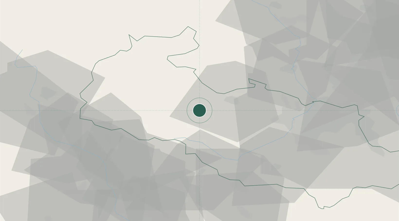
Place type
Populated place
Region
Moravskoslezský
Time zone
Europe/Prague
Elevation
464 m
Location
Nearby Logistics Neighbours
Cities
- 1Budisov nad Budisovkou13 km
- 2Úvalno19 km
- 3Kravare19 km
- 4Stitina20 km
- 5Kravare ve Slezsku20 km
Ports
- 1Szczecin451 km
- 2Police465 km
- 3Swinoujscie508 km
- 4Monfalcone553 km
- 5Trieste558 km
Airports
- 1Leoš Janáček Airport Ostrava33 km
- 2Přerov Air Base57 km
- 3Žilina-Dolný Hričov Airport95 km
- 4Kunovice Airport98 km
- 5Brno-Tuřany Airport112 km
Trade Zones
DatabookThe Record of Consolidated Knowledge
Czechia beyond logistics?