Transport Functions
Rail
Road
Hub Profile
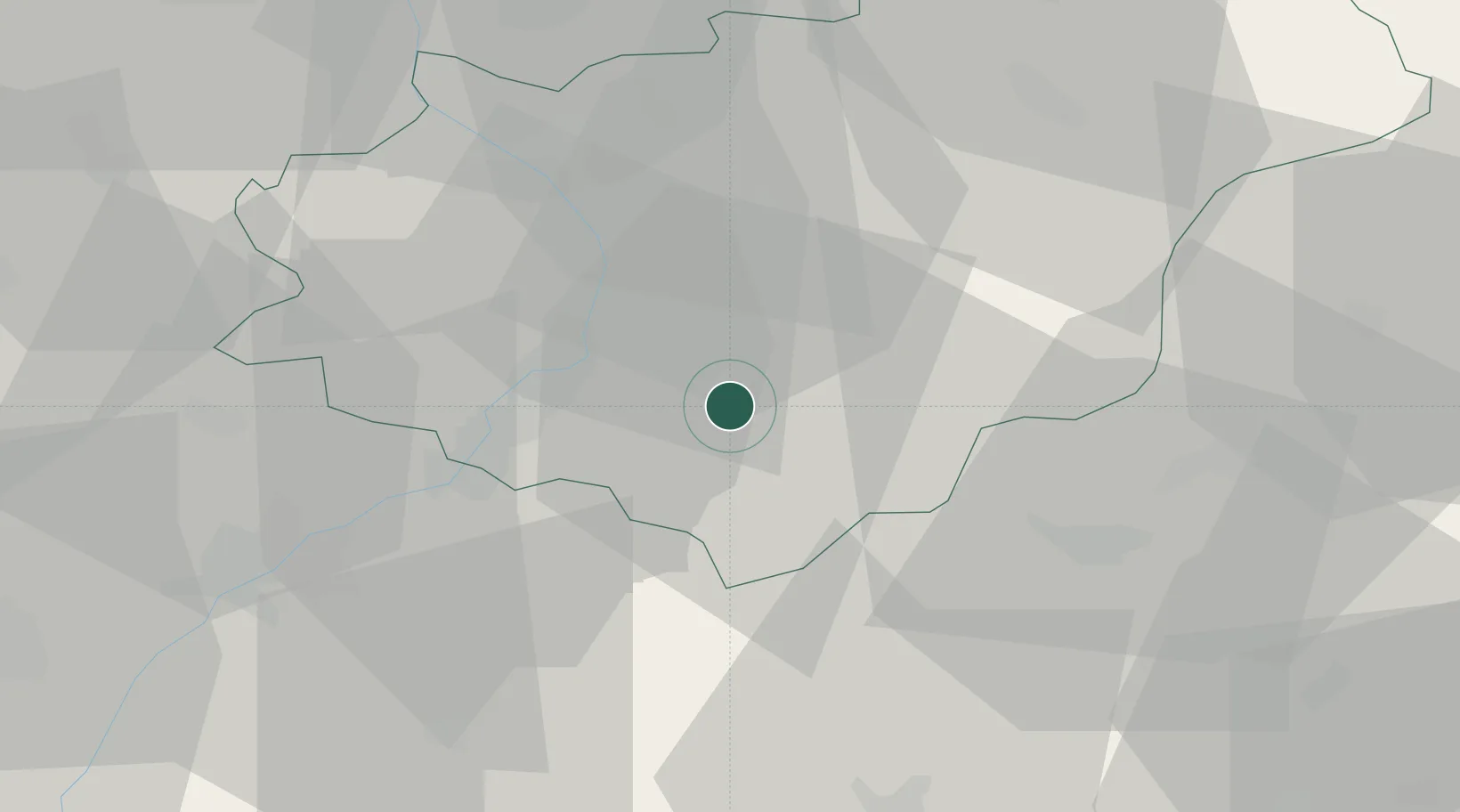
Place type
Populated place
Region
Zlín
Population
16,367
Time zone
Europe/Prague
Elevation
251 m
Location
Nearby Logistics Neighbours
Cities
- 1Dobrkovice8 km
- 2Nivnice8 km
- 3Kelniky9 km
- 4Hluk11 km
- 5Borsice12 km
Ports
- 1Monfalcone475 km
- 2Bakar477 km
- 3Trieste477 km
- 4Rijeka Luka478 km
- 5Muggia481 km
Airports
- 1Kunovice Airport15 km
- 2Přerov Air Base47 km
- 3Piešťany Airport47 km
- 4Brno-Tuřany Airport71 km
- 5Žilina-Dolný Hričov Airport74 km
Trade Zones
DatabookThe Record of Consolidated Knowledge
Czechia beyond logistics?