Transport Functions
Rail
Road
Hub Profile
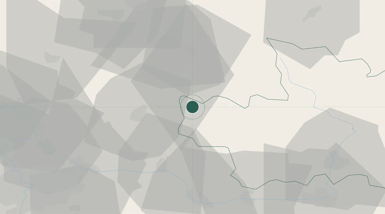
Place type
Populated place
Region
Královéhradecký kraj
Population
2,274
Time zone
Europe/Prague
Elevation
303 m
Location
Nearby Logistics Neighbours
Cities
- 1Libosovice2 km
- 2Sukorady11 km
- 3Jicín12 km
- 4Antoninuv Dul14 km
- 5Lomnice nad Popelkou15 km
Ports
- 1Szczecin331 km
- 2Police347 km
- 3Swinoujscie389 km
- 4Wolgast410 km
- 5Kolobrzeg418 km
Airports
- 1Kostomlaty Airstrip34 km
- 2Prague–Kbely Air Base60 km
- 3Čáslav Air Base60 km
- 4Vodochody Airport62 km
- 5Pardubice Airport64 km
Trade Zones
DatabookThe Record of Consolidated Knowledge
Czechia beyond logistics?