Transport Functions
Rail
Road
Hub Profile
Place type
Populated place
Region
Královéhradecký kraj
Population
16,328
Time zone
Europe/Prague
Elevation
288 m
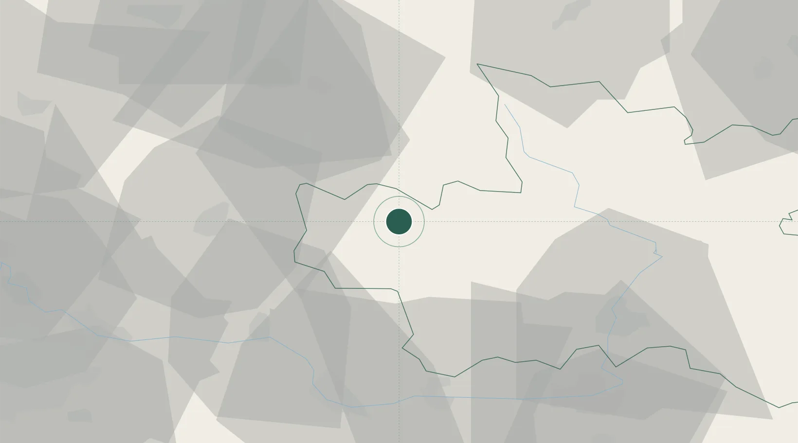
Location
Nearby Logistics Neighbours
Cities
- 1Lomnice nad Popelkou11 km
- 2Sobotka12 km
- 3Nová Paka13 km
- 4Libosovice14 km
- 5Konojedy16 km
Ports
- 1Szczecin336 km
- 2Police353 km
- 3Swinoujscie394 km
- 4Wolgast416 km
- 5Kolobrzeg421 km
Airports
- 1Kostomlaty Airstrip39 km
- 2Pardubice Airport54 km
- 3Čáslav Air Base55 km
- 4Prague–Kbely Air Base67 km
- 5Vodochody Airport72 km
Trade Zones
DatabookThe Record of Consolidated Knowledge
Czechia beyond logistics?