Transport Functions
Rail
Road
Hub Profile
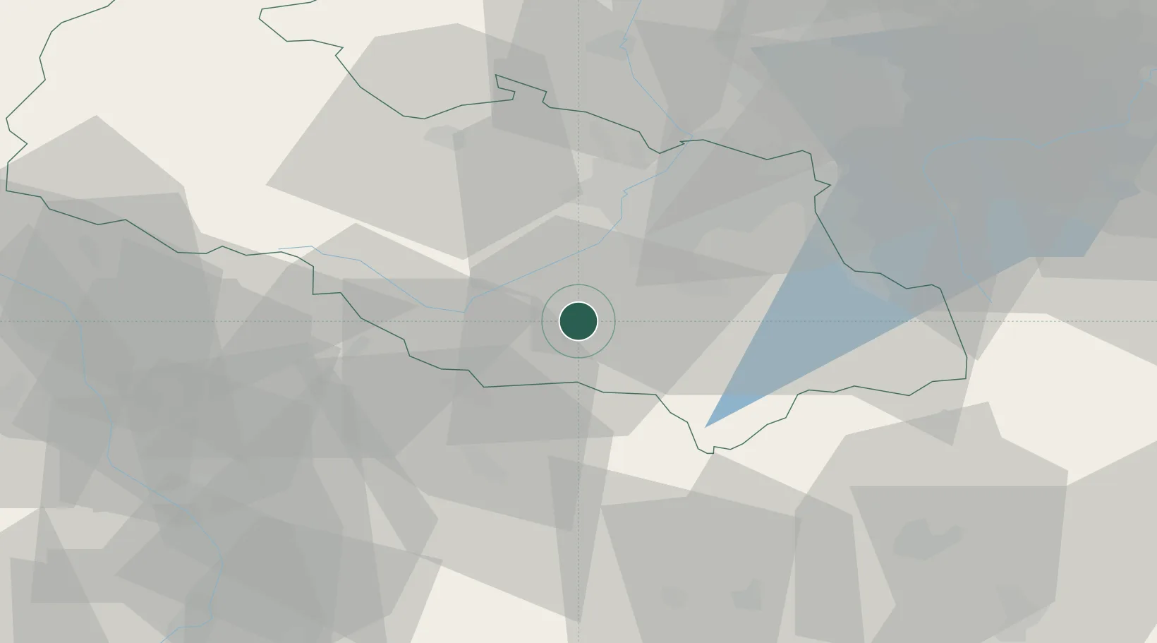
Place type
Populated place
Region
Moravskoslezský
Population
23,424
Time zone
Europe/Prague
Elevation
321 m
Logistics facilities
1
Location
Nearby Logistics Neighbours
Cities
- 1Príbor4 km
- 2Mosnov9 km
- 3Bartosovice9 km
- 4Novy Jicín10 km
- 5Staríc12 km
Airports
- 1Leoš Janáček Airport Ostrava10 km
- 2Žilina-Dolný Hričov Airport54 km
- 3Přerov Air Base58 km
- 4Kunovice Airport83 km
- 5Piešťany Airport112 km
Trade Zones
DatabookThe Record of Consolidated Knowledge
Czechia beyond logistics?