Transport Functions
Rail
Road
Hub Profile
Place type
Populated place
Region
Královéhradecký kraj
Population
1,368
Time zone
Europe/Prague
Elevation
263 m
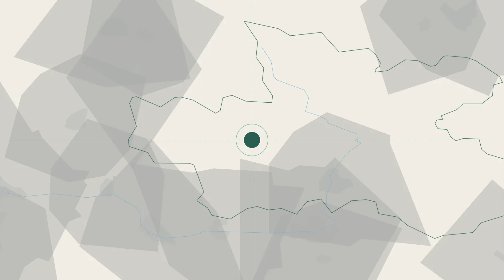
Location
Nearby Logistics Neighbours
Cities
- 1Horice5 km
- 2Nová Paka13 km
- 3Nechanice16 km
- 4Jicín16 km
- 5Horka u Stare Paky17 km
Ports
- 1Szczecin346 km
- 2Police362 km
- 3Swinoujscie404 km
- 4Wolgast427 km
- 5Kolobrzeg428 km
Airports
- 1Pardubice Airport41 km
- 2Kostomlaty Airstrip48 km
- 3Čáslav Air Base49 km
- 4Prague–Kbely Air Base77 km
- 5Vodochody Airport84 km
Trade Zones
DatabookThe Record of Consolidated Knowledge
Czechia beyond logistics?