Transport Functions
Road
Multimodal
Hub Profile
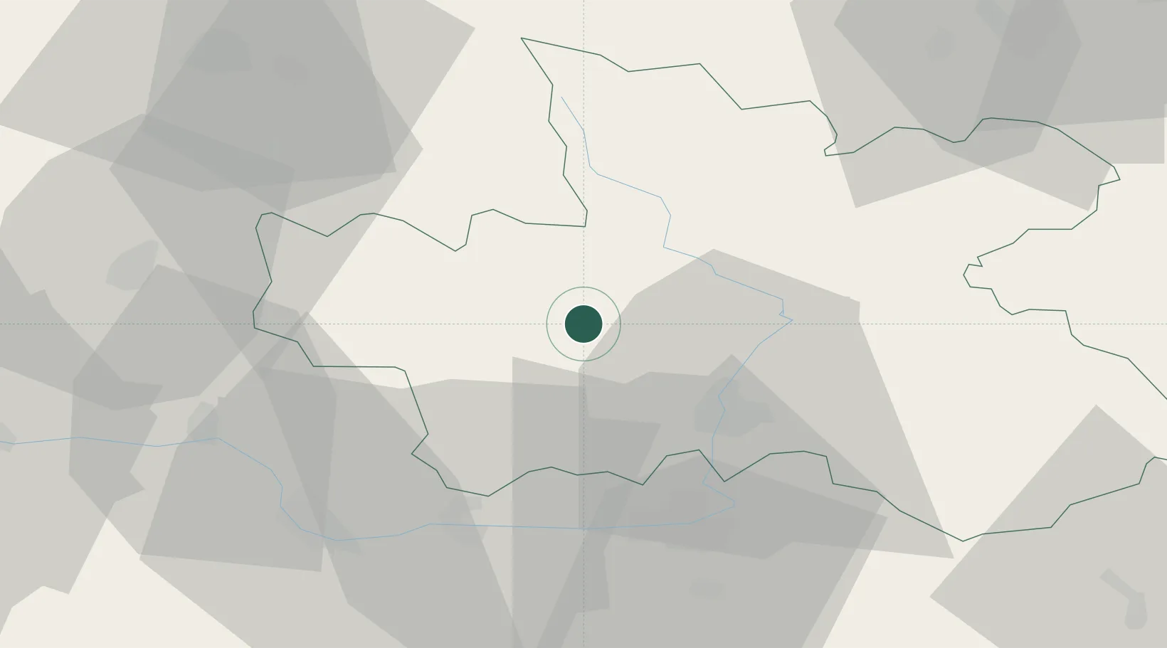
Place type
Populated place
Region
Královéhradecký kraj
Population
8,899
Time zone
Europe/Prague
Elevation
306 m
Location
Nearby Logistics Neighbours
Cities
- 1Ostromer5 km
- 2Nechanice13 km
- 3Nová Paka16 km
- 4Dvur Králové nad Labem17 km
- 5Lochenice17 km
Ports
- 1Szczecin349 km
- 2Police365 km
- 3Swinoujscie407 km
- 4Wolgast430 km
- 5Kolobrzeg430 km
Airports
- 1Pardubice Airport38 km
- 2Čáslav Air Base49 km
- 3Kostomlaty Airstrip52 km
- 4Prague–Kbely Air Base80 km
- 5Vodochody Airport88 km
Trade Zones
DatabookThe Record of Consolidated Knowledge
Czechia beyond logistics?