Transport Functions
Rail
Road
Hub Profile
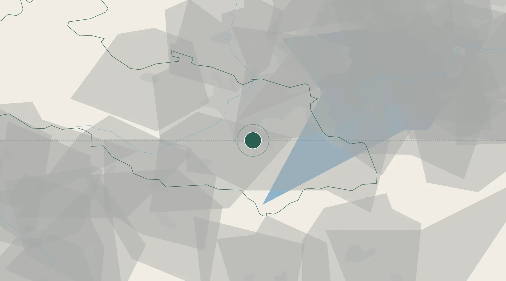
Place type
Populated place
Region
Moravskoslezský
Population
59,416
Time zone
Europe/Prague
Elevation
291 m
Location
Nearby Logistics Neighbours
Cities
- 1Sviadnov2 km
- 2Staríc5 km
- 3Paskov7 km
- 4Krmelin8 km
- 5Frydlant nad Ostravici11 km
Airports
Trade Zones
DatabookThe Record of Consolidated Knowledge
Czechia beyond logistics?