UN/LOCODE hub · Czechia
CZMFI

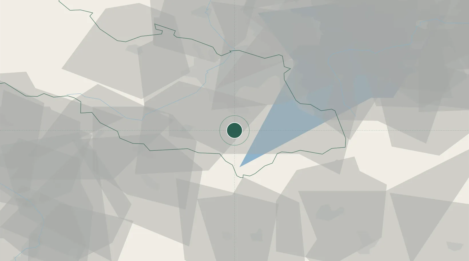
Frydlant nad Ostravici

49.5833°, 18.3500°
9,824
Population
1
Transport functions

Transport Functions

Multimodal
UN/LOCODE

Hub Profile

Place type
Populated place
GeoNames
Region
Moravskoslezský
GeoNames
Population
9,824
GeoNames
Time zone
Europe/Prague
GeoNames
Elevation
355 m
GeoNames

Location

Location of CZMFI
Natural Earth 10m (public domain) · Moravskoslezský · CZMFI · 49.58, 18.35GoogleOSMYandex

Nearby Logistics Neighbours

Cities
  1. 1Ostravice6 km
  2. 2Frydek-Místek11 km
  3. 3Staríc13 km
  4. 4Sviadnov13 km
  5. 5Koprivnice15 km
Nearest neighbours — logibook spatial index (haversine) over the source coordinates
Ports
  1. 1Szczecin501 km
  2. 2Police514 km
  3. 3Gdansk531 km
  4. 4Nowy Port538 km
  5. 5Kolobrzeg550 km
Nearest neighbours — logibook spatial index (haversine) over the source coordinates
Airports
  1. 1Leoš Janáček Airport Ostrava21 km
  2. 2Žilina-Dolný Hričov Airport43 km
  3. 3Přerov Air Base71 km
  4. 4Kunovice Airport90 km
  5. 5Katowice Wojciech Korfanty International Airport112 km
Nearest neighbours — logibook spatial index (haversine) over the source coordinates
Trade Zones
  1. 1Mošnov Development Area21 km
  2. 2Karvinská Specialized Economic Zone33 km
  3. 3Holešov Industrial Zone65 km
  4. 4Krnov - Červený Dvůr Municipal Industrial Zone70 km
  5. 5Bruntál Industrial Zone79 km
Nearest neighbours — logibook spatial index (haversine) over the source coordinates
DatabookThe Record of Consolidated Knowledge
Czechia beyond logistics?
Browse databook

All Sources

LocationsUN/LOCODE
UN/LOCODE — free
LocationsGeoNames
CC BY 4.0
Portsthe NGA World Port Index
Public domain (US gov)
AirportsOurAirports
Public domain
Trade Zonesthe World Bank SEZ database
CC BY 4.0
Trade ZonesOpen Zone Map
CC BY
← Czechia locations