UN/LOCODE hub · Czechia
CZNWS

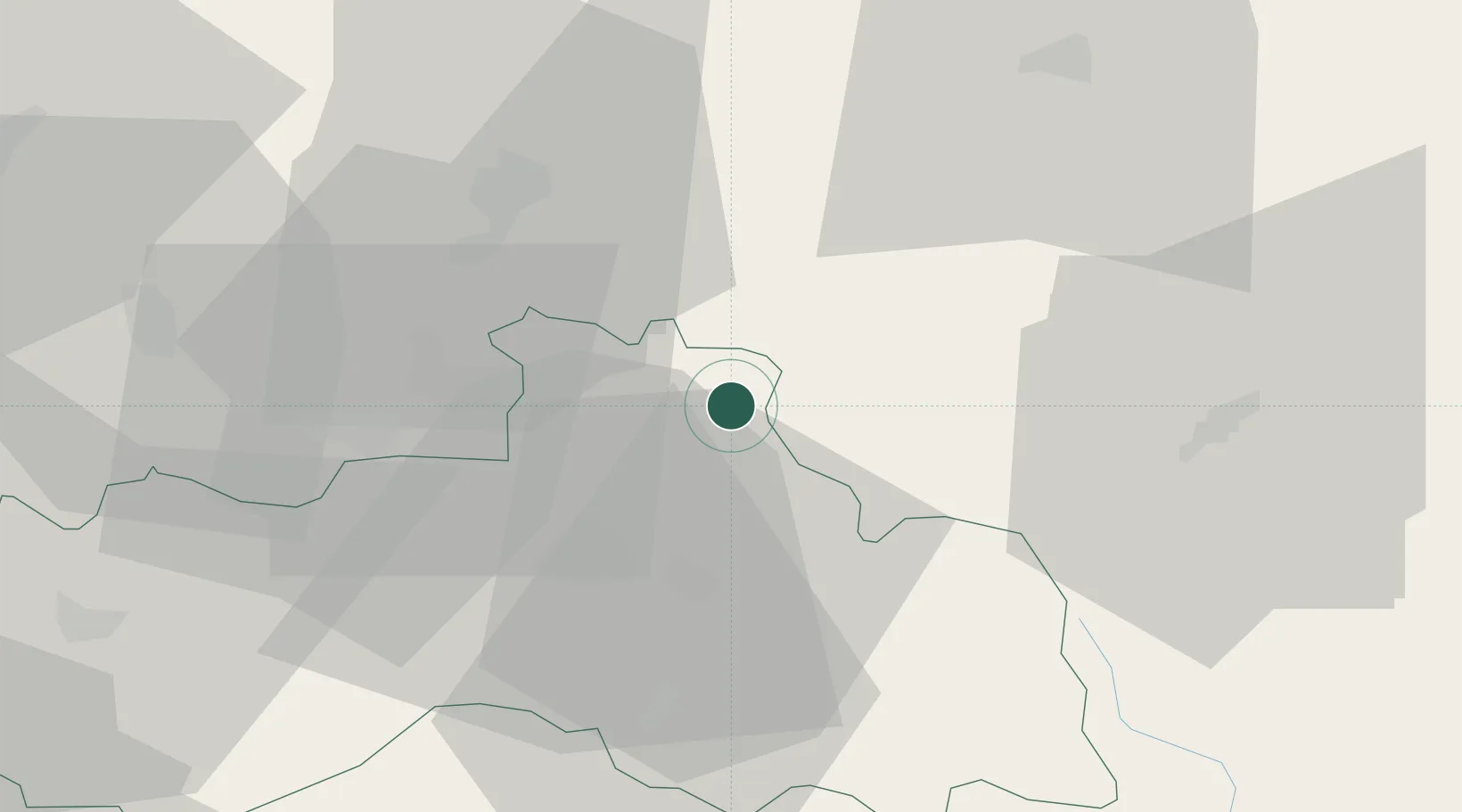
Nové Mesto pod Smrkem

50.9167°, 15.2167°
3,915
Population
2
Transport functions

Transport Functions

Rail
Road
UN/LOCODE

Hub Profile

Place type
Populated place
GeoNames
Region
Liberecký kraj
GeoNames
Population
3,915
GeoNames
Time zone
Europe/Prague
GeoNames
Elevation
467 m
GeoNames

Location

Location of CZNWS
Natural Earth 10m (public domain) · Liberecký kraj · CZNWS · 50.92, 15.22GoogleOSMYandex

Nearby Logistics Neighbours

Cities
  1. 1Pobiedna5 km
  2. 2Swieradów-Zdrój8 km
  3. 3Bogatynia19 km
  4. 4Smrzovka21 km
  5. 5Chrastava21 km
Nearest neighbours — logibook spatial index (haversine) over the source coordinates
Ports
  1. 1Szczecin282 km
  2. 2Police298 km
  3. 3Swinoujscie340 km
  4. 4Wolgast362 km
  5. 5Kolobrzeg368 km
Nearest neighbours — logibook spatial index (haversine) over the source coordinates
Airports
  1. 1Rothenburg/Görlitz Airfield53 km
  2. 2Kostomlaty Airstrip81 km
  3. 3Vodochody Airport97 km
  4. 4Prague–Kbely Air Base100 km
  5. 5Dresden Airport104 km
Nearest neighbours — logibook spatial index (haversine) over the source coordinates
Trade Zones
  1. 1Kamienna Góra59 km
  2. 2Legnica SEZ (Legnicka SSE)64 km
  3. 3Wałbrzych SEZ INVEST-PARK (Wałbrzyska SSE)77 km
  4. 4Kolín - Ovčáry Industrial Zone94 km
  5. 5Pardubice City Industrial Zone108 km
Nearest neighbours — logibook spatial index (haversine) over the source coordinates
DatabookThe Record of Consolidated Knowledge
Czechia beyond logistics?
Browse databook

All Sources

LocationsUN/LOCODE
UN/LOCODE — free
LocationsGeoNames
CC BY 4.0
Portsthe NGA World Port Index
Public domain (US gov)
AirportsOurAirports
Public domain
Trade Zonesthe World Bank SEZ database
CC BY 4.0
Trade ZonesOpen Zone Map
CC BY
← Czechia locations