Transport Functions
Rail
Road
Multimodal
Hub Profile
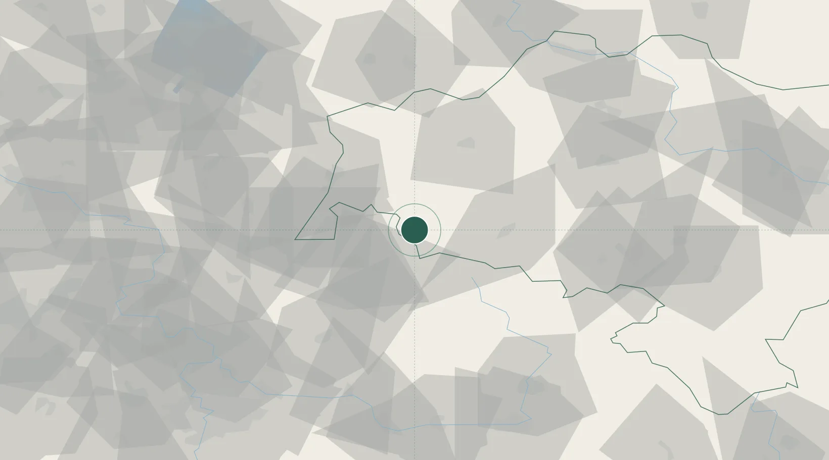
Place type
Populated place
Region
Lower Silesia
Population
4,492
Time zone
Europe/Warsaw
Elevation
469 m
Location
Nearby Logistics Neighbours
Cities
- 1Pobiedna5 km
- 2Nové Mesto pod Smrkem8 km
- 3Tanvald19 km
- 4Smrzovka19 km
- 5Drzkov24 km
Ports
- 1Szczecin285 km
- 2Police301 km
- 3Swinoujscie343 km
- 4Wolgast366 km
- 5Kolobrzeg369 km
Airports
- 1Rothenburg/Görlitz Airfield58 km
- 2Kostomlaty Airstrip82 km
- 3Vodochody Airport101 km
- 4Pardubice Airport103 km
- 5Prague–Kbely Air Base103 km
Trade Zones
DatabookThe Record of Consolidated Knowledge
Poland beyond logistics?