Transport Functions
Rail
Road
Hub Profile
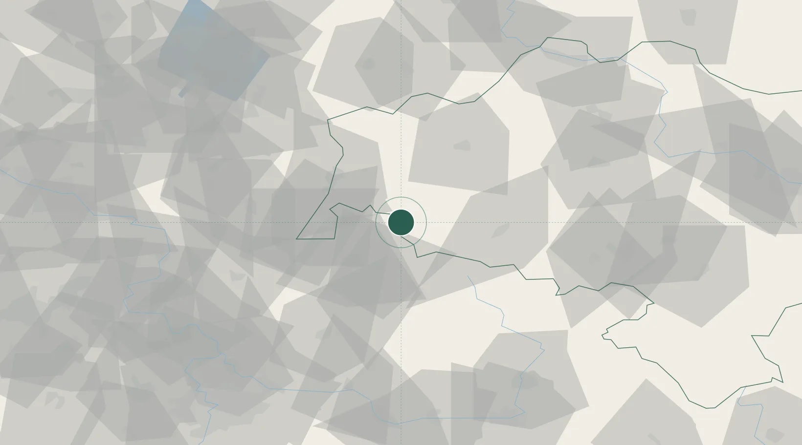
Place type
Populated place
Region
Lower Silesia
Time zone
Europe/Warsaw
Elevation
451 m
Location
Nearby Logistics Neighbours
Cities
- 1Nové Mesto pod Smrkem5 km
- 2Swieradów-Zdrój5 km
- 3Tanvald22 km
- 4Smrzovka22 km
- 5Bogatynia24 km
Ports
- 1Szczecin281 km
- 2Police297 km
- 3Swinoujscie339 km
- 4Wolgast361 km
- 5Kolobrzeg366 km
Airports
- 1Rothenburg/Görlitz Airfield53 km
- 2Kostomlaty Airstrip85 km
- 3Vodochody Airport101 km
- 4Prague–Kbely Air Base104 km
- 5Pardubice Airport107 km
Trade Zones
DatabookThe Record of Consolidated Knowledge
Poland beyond logistics?