UN/LOCODE hub · Costa Rica
CRTUA

Turrubares

9.6167°, -84.5167°
2
Transport functions

Transport Functions

Port
Multimodal
UN/LOCODE

Hub Profile

Region
A
GeoNames

Location

Location of CRTUA
Natural Earth 10m (public domain) · A · CRTUA · 9.62, -84.52GoogleOSMYandex

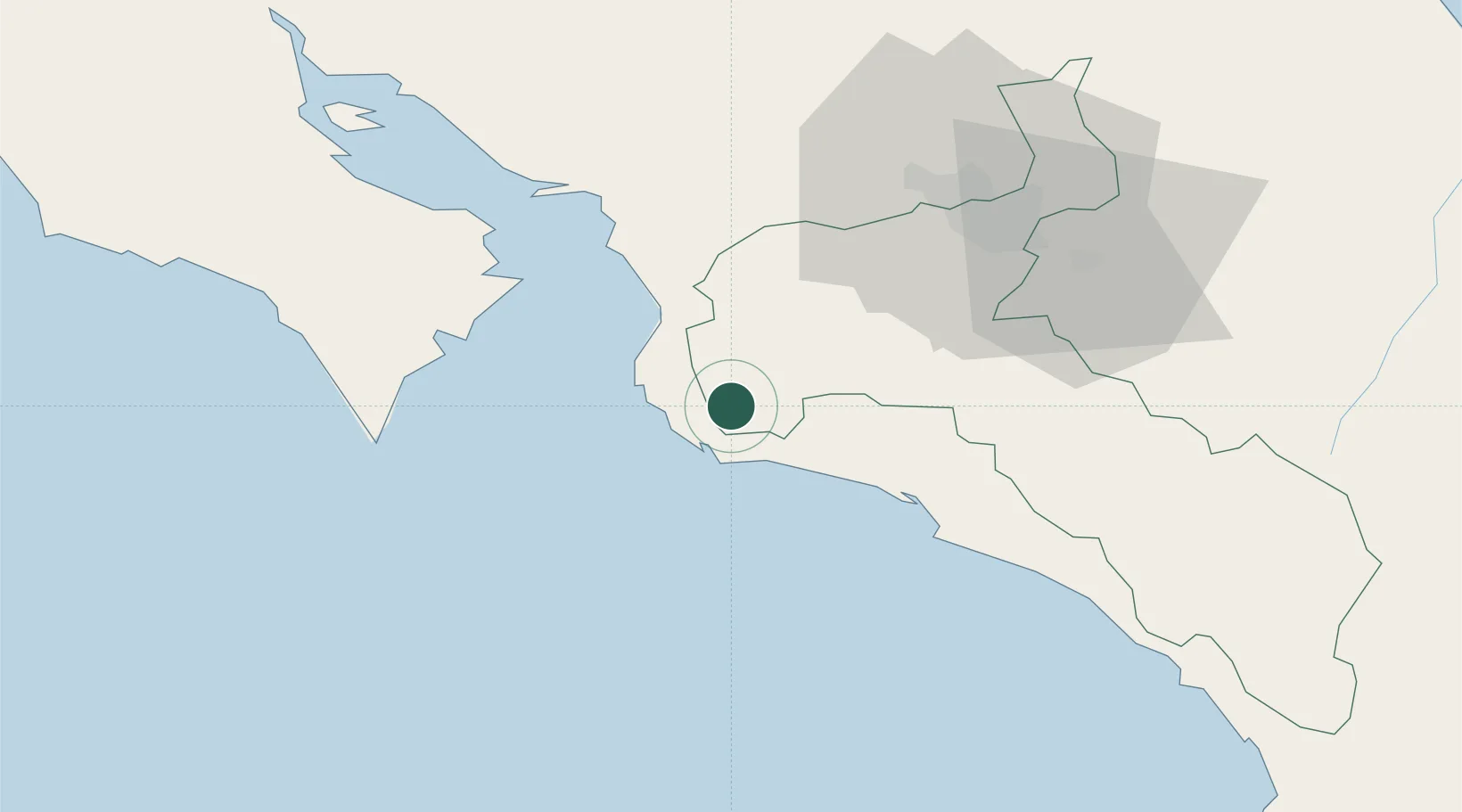
Nearby Logistics Neighbours

Cities
  1. 1Parrita25 km
  2. 2Guatuso31 km
  3. 3Orotina32 km
  4. 4Coyolar32 km
  5. 5Tejar34 km
Nearest neighbours — logibook spatial index (haversine) over the source coordinates
Ports
  1. 1Puerto Caldera40 km
  2. 2Puerto Quepos44 km
  3. 3Puntarenas54 km
  4. 4Puerto Moin163 km
  5. 5Puerto Limon169 km
Nearest neighbours — logibook spatial index (haversine) over the source coordinates
Airports
  1. 1Quepos Managua Airport47 km
  2. 2Juan Santamaría International Airport54 km
  3. 3Tobías Bolaños International Airport56 km
  4. 4La Fortuna Arenal Airport95 km
  5. 5Guapiles Airport103 km
Nearest neighbours — logibook spatial index (haversine) over the source coordinates
Trade Zones
  1. 1Puntarenas Free Trade Zone36 km
  2. 2Zona Franca Puntarenas, SA47 km
  3. 3Coyol Free Zone49 km
  4. 4Zona Franca BES (BES Free Zone)51 km
  5. 5Greenpark51 km
Nearest neighbours — logibook spatial index (haversine) over the source coordinates
DatabookThe Record of Consolidated Knowledge
Costa Rica beyond logistics?
Browse databook

All Sources

LocationsUN/LOCODE
UN/LOCODE — free
Portsthe NGA World Port Index
Public domain (US gov)
AirportsOurAirports
Public domain
Trade Zonesthe World Bank SEZ database
CC BY 4.0
Trade ZonesOpen Zone Map
CC BY
← Costa Rica locations