Transport Functions
Port
Rail
Road
Hub Profile
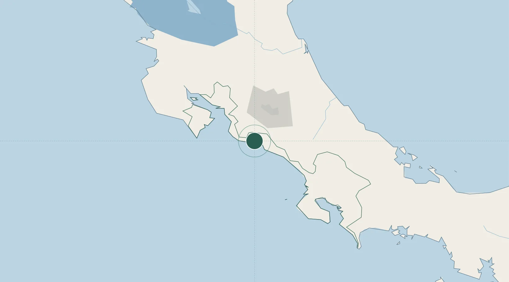
Place type
Populated place
Region
Puntarenas Province
Population
3,734
Time zone
America/Costa_Rica
Elevation
7 m
Location
Nearby Logistics Neighbours
Cities
- 1Turrubares25 km
- 2Tejar28 km
- 3San Marcos de Tarrazu35 km
- 4San Ignacio de Acosta36 km
- 5Guatuso38 km
Ports
- 1Puerto Quepos19 km
- 2Puerto Caldera63 km
- 3Puntarenas77 km
- 4Puerto Moin145 km
- 5Puerto Limon152 km
Airports
Trade Zones
- 1UltraPark Escazú51 km
- 2Lindora Park Free Zone51 km
- 3Torre Universal52 km
- 4Coyol Free Zone53 km
- 5Zona Franca BES (BES Free Zone)54 km
DatabookThe Record of Consolidated Knowledge
Costa Rica beyond logistics?