UN/LOCODE hub · Costa Rica
CRTJR

Tejar

9.7500°, -84.2333°
22,433
Population
1
Transport functions

Transport Functions

Multimodal
UN/LOCODE

Hub Profile

Place type
Populated place
GeoNames
Region
San José
GeoNames
Population
22,433
GeoNames
Time zone
America/Costa_Rica
GeoNames
Elevation
999 m
GeoNames

Location

Location of CRTJR
Natural Earth 10m (public domain) · San José · CRTJR · 9.75, -84.23GoogleOSMYandex

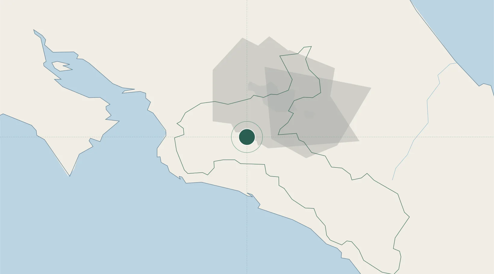
Nearby Logistics Neighbours

Cities
  1. 1San Ignacio de Acosta9 km
  2. 2Tabarca15 km
  3. 3Guatuso18 km
  4. 4Colón19 km
  5. 5Pacayas21 km
Nearest neighbours — logibook spatial index (haversine) over the source coordinates
Ports
  1. 1Puerto Quepos36 km
  2. 2Puerto Caldera56 km
  3. 3Puntarenas71 km
  4. 4Puerto Moin129 km
  5. 5Puerto Limon136 km
Nearest neighbours — logibook spatial index (haversine) over the source coordinates
Airports
  1. 1Tobías Bolaños International Airport25 km
  2. 2Juan Santamaría International Airport27 km
  3. 3Quepos Managua Airport36 km
  4. 4Guapiles Airport71 km
  5. 5La Fortuna Arenal Airport89 km
Nearest neighbours — logibook spatial index (haversine) over the source coordinates
Trade Zones
  1. 1UltraPark Escazú23 km
  2. 2Lindora Park Free Zone24 km
  3. 3Torre Universal25 km
  4. 4UltraPark II27 km
  5. 5Ultrapark LAG Free Zone27 km
Nearest neighbours — logibook spatial index (haversine) over the source coordinates
DatabookThe Record of Consolidated Knowledge
Costa Rica beyond logistics?
Browse databook

All Sources

LocationsUN/LOCODE
UN/LOCODE — free
LocationsGeoNames
CC BY 4.0
Portsthe NGA World Port Index
Public domain (US gov)
AirportsOurAirports
Public domain
Trade Zonesthe World Bank SEZ database
CC BY 4.0
Trade ZonesOpen Zone Map
CC BY
← Costa Rica locations