Transport Functions
Multimodal
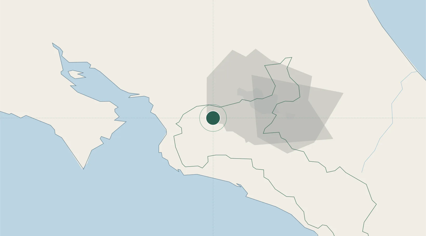
Hub Profile
Place type
Populated place
Region
San José
Time zone
America/Costa_Rica
Elevation
915 m
Location
Nearby Logistics Neighbours
Cities
- 1Turrucares14 km
- 2Colón15 km
- 3Tejar18 km
- 4Orotina19 km
- 5Poas21 km
Ports
- 1Puerto Caldera39 km
- 2Puerto Quepos51 km
- 3Puntarenas53 km
- 4Puerto Moin142 km
- 5Puerto Limon149 km
Airports
Trade Zones
- 1Coyol Free Zone18 km
- 2Zona Franca BES (BES Free Zone)20 km
- 3Greenpark21 km
- 4Zeta Free Zone Alajuela22 km
- 5Lindora Park Free Zone22 km
DatabookThe Record of Consolidated Knowledge
Costa Rica beyond logistics?