UN/LOCODE hub · Costa Rica
CRCYR

Coyolar

9.9000°, -84.5667°
1
Transport functions

Transport Functions

Multimodal
UN/LOCODE

Hub Profile

Place type
Populated place
GeoNames
Region
Alajuela Province
GeoNames
Time zone
America/Costa_Rica
GeoNames
Elevation
141 m
GeoNames

Location

Location of CRCYR
Natural Earth 10m (public domain) · Alajuela Province · CRCYR · 9.90, -84.57GoogleOSMYandex

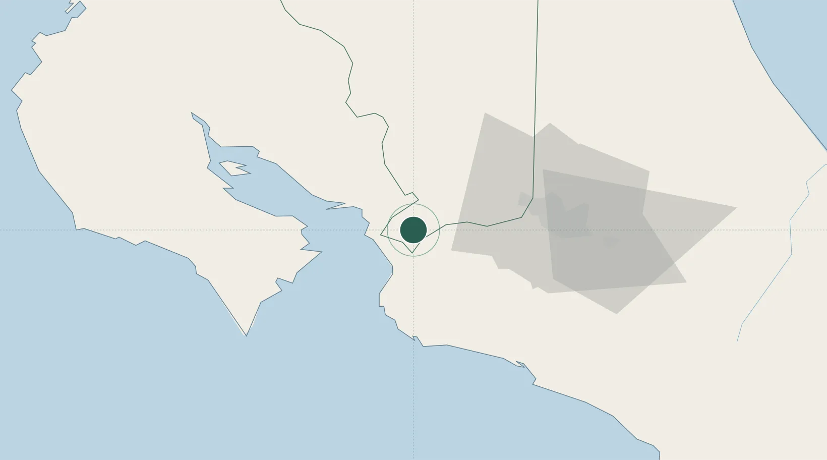
Nearby Logistics Neighbours

Cities
  1. 1Orotina4 km
  2. 2Caldera6 km
  3. 3Salinas13 km
  4. 4Esparza14 km
  5. 5Puerto Caldera17 km
Nearest neighbours — logibook spatial index (haversine) over the source coordinates
Ports
  1. 1Puerto Caldera17 km
  2. 2Puntarenas31 km
  3. 3Puerto Quepos68 km
  4. 4Puerto Moin163 km
  5. 5Puerto Limon170 km
Nearest neighbours — logibook spatial index (haversine) over the source coordinates
Airports
  1. 1Juan Santamaría International Airport41 km
  2. 2Tobías Bolaños International Airport47 km
  3. 3La Fortuna Arenal Airport63 km
  4. 4Quepos Managua Airport70 km
  5. 5Guapiles Airport91 km
Nearest neighbours — logibook spatial index (haversine) over the source coordinates
Trade Zones
  1. 1Puntarenas Free Trade Zone11 km
  2. 2Zona Franca Puntarenas, SA19 km
  3. 3Activa Industrial Park30 km
  4. 4AAA Top Talent Free Trade Zone32 km
  5. 5Coyol Free Zone33 km
Nearest neighbours — logibook spatial index (haversine) over the source coordinates
DatabookThe Record of Consolidated Knowledge
Costa Rica beyond logistics?
Browse databook

All Sources

LocationsUN/LOCODE
UN/LOCODE — free
Portsthe NGA World Port Index
Public domain (US gov)
AirportsOurAirports
Public domain
Trade Zonesthe World Bank SEZ database
CC BY 4.0
Trade ZonesOpen Zone Map
CC BY
← Costa Rica locations