UN/LOCODE hub · Costa Rica
CRSMP

Santa Maria/Pocosol

10.6167°, -84.5167°
1
Transport functions

Transport Functions

Port
UN/LOCODE

Hub Profile

Region
A
GeoNames

Location

Location of CRSMP
Natural Earth 10m (public domain) · A · CRSMP · 10.62, -84.52GoogleOSMYandex

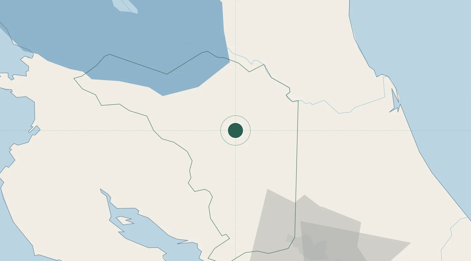
Nearby Logistics Neighbours

Cities
  1. 1Boca Arenal10 km
  2. 2Muelle de San Carlos12 km
  3. 3Cutris18 km
  4. 4La Fortuna21 km
  5. 5Altamira25 km
Nearest neighbours — logibook spatial index (haversine) over the source coordinates
Ports
  1. 1Puntarenas79 km
  2. 2Puerto Caldera81 km
  3. 3Puerto Quepos137 km
  4. 4Puerto Moin171 km
  5. 5Bluefields177 km
Nearest neighbours — logibook spatial index (haversine) over the source coordinates
Airports
  1. 1La Fortuna Arenal Airport18 km
  2. 2Los Chiles Airport51 km
  3. 3Upala Airport63 km
  4. 4Juan Santamaría International Airport77 km
  5. 5Tobías Bolaños International Airport84 km
Nearest neighbours — logibook spatial index (haversine) over the source coordinates
Trade Zones
  1. 1CR Green Valley Business and Technology Park39 km
  2. 2AAA Top Talent Free Trade Zone64 km
  3. 3Activa Industrial Park65 km
  4. 4Zona Franca Puntarenas, SA74 km
  5. 5Coyol Free Zone74 km
Nearest neighbours — logibook spatial index (haversine) over the source coordinates
DatabookThe Record of Consolidated Knowledge
Costa Rica beyond logistics?
Browse databook

All Sources

LocationsUN/LOCODE
UN/LOCODE — free
Portsthe NGA World Port Index
Public domain (US gov)
AirportsOurAirports
Public domain
Trade Zonesthe World Bank SEZ database
CC BY 4.0
Trade ZonesOpen Zone Map
CC BY
← Costa Rica locations